
1964 Map of Knobtown
USGS Topo · Published 1965About this map
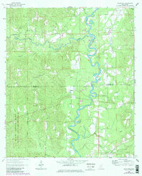
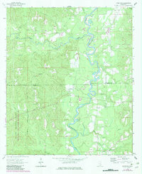
The Chickasawhay River meanders sharply through this mid-century landscape of the Piney Woods, forming the primary drainage for numerous tributaries like Horse Creek and Davis Creek. Most of the terrain is defined by the De Soto National Forest Boundary, where the topography is dotted with family and community landmarks vital to local genealogy. Several country churches and their associated grounds, including Douglas Chapel and the Pine Grove Cemetery, serve as anchors for rural life near the boundary of Wayne and Greene counties. The map captures an era of local industry focused on the land's natural resources, evidenced by multiple gravel pits and sandpits situated near Kittrell and the small settlement of Knobtown in the southern reaches of the quadrangle.
Find a feature on this map
31 named features on this map. Tap any name to fly to it.
Don’t see what you’re looking for? This feature index may not catch every label — zoom into the map to look around manually.
Map Details
Editions of this 1964 Knobtown Map
3 editions found
Other maps of this area

1953 · Hattiesburg
USGS Topo · 1:250,000

1958 · Hattiesburg
USGS Topo · 1:250,000

1964 · Clark
USGS Topo · 1:24,000

1964 · Clara
USGS Topo · 1:24,000

1964 · Buckatunna
USGS Topo · 1:24,000

1964 · Avera
USGS Topo · 1:24,000

1964 · Piave
USGS Topo · 1:24,000

1974 · Fruitdale
USGS Topo · 1:24,000

1974 · State Line
USGS Topo · 1:24,000

1974 · Copeland
USGS Topo · 1:24,000