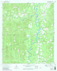
1964 Map of Knobtown
USGS Topo · Published 1982About this map
The Chickasawhay River meanders south through this corner of Southeast Mississippi, defining a landscape of dense creek networks and timbered bottoms. Settled points like Kittrell and Knobtown serve as anchors in an area largely dominated by the De Soto National Forest Chickasawhay State Wildlife Management Area. The map reveals a high density of rural religious and family landmarks, with Douglas Chapel, Providence Ch, and Mt Olive Ch spaced along the ridge lines above the river valley.
Find a feature on this map
31 named features on this map. Tap any name to fly to it.
Don’t see what you’re looking for? This feature index may not catch every label — zoom into the map to look around manually.
Map Details
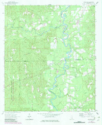
Editions of this 1964 Knobtown Map
3 editions found
Other maps of this area

1953 · Hattiesburg
USGS Topo · 1:250,000

1958 · Hattiesburg
USGS Topo · 1:250,000

1964 · Knobtown
USGS Topo · 1:24,000

1964 · Clark
USGS Topo · 1:24,000

1964 · Clara
USGS Topo · 1:24,000

1964 · Buckatunna
USGS Topo · 1:24,000

1964 · Avera
USGS Topo · 1:24,000

1964 · Piave
USGS Topo · 1:24,000

1974 · Fruitdale
USGS Topo · 1:24,000

1974 · State Line
USGS Topo · 1:24,000