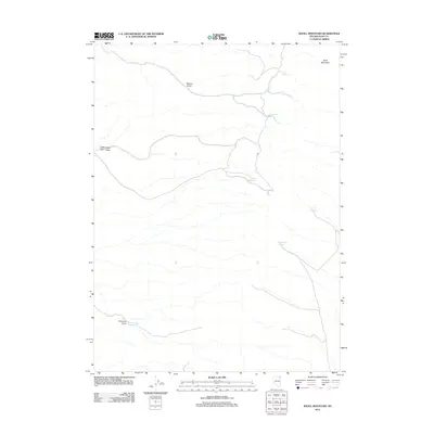
2012 Map of Knoll Mountain
USGS Topo · Published 2012About this map
Knoll Mountain dominates the high desert terrain of northeastern Elko County, defining a landscape shaped by intermittent water sources and drainage systems. The presence of numerous named springs, such as Tiser Spring, Hice Spring, and Tumbling T Spring, indicates the critical importance of reliable water in this arid environment, likely supporting local ranching operations. In the southern portion of the quadrangle, Little Primrose Dam Reservoir at the base of Primrose Draw represents a man-made attempt to capture runoff from the surrounding slopes. The geography is further marked by evocative place names like Bloody Gulch and Coyote Hole, while broad features like Eagle Flat and Eagle Draw show the transition from steep mountain terrain to more level basins. This 2012 survey illustrates the enduring patterns of remote Nevada land use where natural springs and small-scale water management remain the primary landmarks.
Find a feature on this map
12 named features on this map. Tap any name to fly to it.
Don’t see what you’re looking for? This feature index may not catch every label — zoom into the map to look around manually.
Map Details
Editions of this 2012 Knoll Mountain Map
This is the sole edition of this map. No revisions or reprints were ever made.
Other maps of this area

1955 · Wells
USGS Topo · 1:250,000

1958 · Wells
USGS Topo · 1:250,000

1961 · Wells
USGS Topo · 1:250,000

1968 · Wilkins
USGS Topo · 1:24,000

1968 · Knoll Mountain
USGS Topo · 1:24,000

1968 · Knoll Mountain SE
USGS Topo · 1:24,000

1968 · Henry
USGS Topo · 1:24,000

1968 · Wine Cup Ranch
USGS Topo · 1:24,000

1968 · Blanchard Mtn
USGS Topo · 1:24,000

1968 · Texas Spring
USGS Topo · 1:24,000