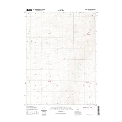
2014 Map of Knoll Mountain
USGS Topo · Published 2014About this map
Knoll Mtn and the western edge of the H D Range define this high-desert landscape in Elko County, where water sources were the primary landmarks for early travelers and ranchers. This 2014 survey captures a network of isolated water points, including Tumbling T Spring, Black Rock Spring, and the curiously named Coyote Hole. The terrain is marked by deep erosional features like Bloody Gulch and Primrose Draw, which channel seasonal runoff toward the Little Primrose Dam Reservoir. This map illustrates the vital importance of springs in the Great Basin, where named locations like CCC Spring hint at 20th-century conservation and range management efforts. The landscape remains largely open, characterized by broad drainage basins such as Eagle Flat and Eagle Draw.
Find a feature on this map
17 named features on this map. Tap any name to fly to it.
Don’t see what you’re looking for? This feature index may not catch every label — zoom into the map to look around manually.
Map Details
Editions of this 2014 Knoll Mountain Map
This is the sole edition of this map. No revisions or reprints were ever made.
Other maps of this area

1955 · Wells
USGS Topo · 1:250,000

1958 · Wells
USGS Topo · 1:250,000

1961 · Wells
USGS Topo · 1:250,000

1968 · Wilkins
USGS Topo · 1:24,000

1968 · Knoll Mountain
USGS Topo · 1:24,000

1968 · Knoll Mountain SE
USGS Topo · 1:24,000

1968 · Henry
USGS Topo · 1:24,000

1968 · Wine Cup Ranch
USGS Topo · 1:24,000

1968 · Blanchard Mtn
USGS Topo · 1:24,000

1968 · Texas Spring
USGS Topo · 1:24,000