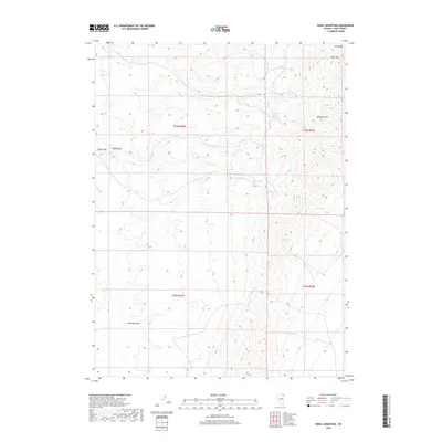
2018 Map of Knoll Mountain
USGS Topo · Published 2018About this map
Knoll Mtn and the eastern slopes of the H D Range define this high-altitude landscape in northeastern Nevada. This 2018 survey detail centers on a critical network of water sources essential for survival and livestock in the arid Basin and Range province. Named features like Tiser Spring, Hice Spring, and Tumbling T Spring suggest a history of ranching and range management, while C C C Spring likely references the legacy of the Civilian Conservation Corps in the region. The topography is marked by significant drainages such as Bloody Gulch and Primrose Draw, which cut through the complex terrain. Broad features like Eagle Flat provide contrast to the sharp elevations of the mountains, illustrating the diverse landforms within the Elko County backcountry.
Find a feature on this map
17 named features on this map. Tap any name to fly to it.
Don’t see what you’re looking for? This feature index may not catch every label — zoom into the map to look around manually.
Map Details
Editions of this 2018 Knoll Mountain Map
This is the sole edition of this map. No revisions or reprints were ever made.
Other maps of this area

1955 · Wells
USGS Topo · 1:250,000

1958 · Wells
USGS Topo · 1:250,000

1961 · Wells
USGS Topo · 1:250,000

1968 · Wilkins
USGS Topo · 1:24,000

1968 · Knoll Mountain
USGS Topo · 1:24,000

1968 · Knoll Mountain SE
USGS Topo · 1:24,000

1968 · Henry
USGS Topo · 1:24,000

1968 · Wine Cup Ranch
USGS Topo · 1:24,000

1968 · Blanchard Mtn
USGS Topo · 1:24,000

1968 · Texas Spring
USGS Topo · 1:24,000