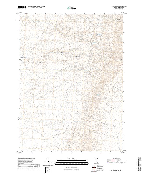
2021 Map of Knoll Mountain
USGS Topo · Published 2021About this map
Knoll Mtn and the eastern slopes of the H D Range dominate this high-desert landscape in Elko County. The map details a network of vital water sources essential for life in this arid environment, including named points like Tiser Spring, Hice Spring, and Tumbling T Spring. To the south, Black Rock Spring and the curiously named C C C Spring suggest a history of range management and early conservation efforts. The terrain is deeply incised by drainages such as Bloody Gulch and Primrose Draw, which cut through the ridges toward the more open expanse of Eagle Flat. This 2021 survey serves as a precise record of the topography and named landmarks that have guided ranchers and travelers through these remote Nevada highlands for generations.
Find a feature on this map
17 named features on this map. Tap any name to fly to it.
Don’t see what you’re looking for? This feature index may not catch every label — zoom into the map to look around manually.
Map Details
Editions of this 2021 Knoll Mountain Map
This is the sole edition of this map. No revisions or reprints were ever made.
Other maps of this area

1955 · Wells
USGS Topo · 1:250,000

1958 · Wells
USGS Topo · 1:250,000

1961 · Wells
USGS Topo · 1:250,000

1968 · Wilkins
USGS Topo · 1:24,000

1968 · Knoll Mountain
USGS Topo · 1:24,000

1968 · Knoll Mountain SE
USGS Topo · 1:24,000

1968 · Henry
USGS Topo · 1:24,000

1968 · Wine Cup Ranch
USGS Topo · 1:24,000

1968 · Blanchard Mtn
USGS Topo · 1:24,000

1968 · Texas Spring
USGS Topo · 1:24,000