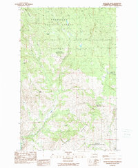
1989 Map of Knowlton Knob
USGS Topo · Published 1989About this map
Knowlton Knob Lookout Tower stands as a prominent high point in this late-century survey of North Central Washington. The landscape is defined by the transition from the high ridges of Buckhorn Mountain and Mount Teacher down toward the Methow River in the southwest corner. This area, largely contained within the Okanogan National Forest, shows a topography shaped by water and early land use, with numerous named water sources like Russian Spring, Arkansas Spring, and Secret Lake providing vital resources in the arid climate.
Find a feature on this map
20 named features on this map. Tap any name to fly to it.
Don’t see what you’re looking for? This feature index may not catch every label — zoom into the map to look around manually.
Map Details
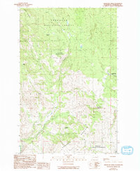
Editions of this 1989 Knowlton Knob Map
2 editions found
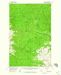
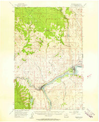
Other maps of this area

1899 · Methow
USGS Topo · 1:125,000

1901 · Methow
USGS Topo · 1:125,000

1905 · Okanogan
USGS Topo · 1:125,000

1954 · Okanogan
USGS Topo · 1:250,000

1955 · Concrete
USGS Topo · 1:250,000
1956 · Loup Loup
USGS Topo · 1:62,500
1957 · Brewster
USGS Topo · 1:62,500

1958 · Concrete
USGS Topo · 1:250,000

1958 · Okanogan
USGS Topo · 1:250,000

1962 · Concrete
USGS Topo · 1:250,000