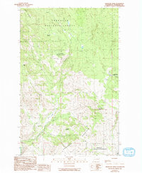
1989 Map of Knowlton Knob
USGS Topo · Published 1993About this map
Okanogan National Forest dominates this upland landscape, where the terrain rises toward the heights of Leecher Mountain and Buckhorn Mountain. The map preserves the specific locations of isolated resources essential for high-country life, such as Russian Spring, Bock Spring, and Kupfer Spring, which likely served as critical watering points for early cattle ranching evidenced by the labeled Corral.
Find a feature on this map
18 named features on this map. Tap any name to fly to it.
Don’t see what you’re looking for? This feature index may not catch every label — zoom into the map to look around manually.
Map Details
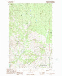
Editions of this 1989 Knowlton Knob Map
2 editions found
Other maps of this area

1899 · Methow
USGS Topo · 1:125,000

1901 · Methow
USGS Topo · 1:125,000

1905 · Okanogan
USGS Topo · 1:125,000

1954 · Okanogan
USGS Topo · 1:250,000

1955 · Concrete
USGS Topo · 1:250,000

1956 · Loup Loup
USGS Topo · 1:62,500

1957 · Brewster
USGS Topo · 1:62,500

1958 · Concrete
USGS Topo · 1:250,000

1958 · Okanogan
USGS Topo · 1:250,000

1962 · Concrete
USGS Topo · 1:250,000