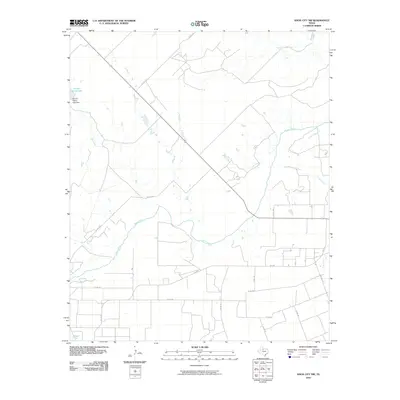
2010 Map of Knox City NW
USGS Topo · Published 2010About this map
The Brazos River meanders across this rural Texas landscape, cutting a wide path through the central and southern portions of the territory. The terrain is defined by its drainage network, where seasonal waterways like Little Croton Creek and Gyp Creek feed into the larger river system. This 2010 survey reflects a region primarily dedicated to ranching and agriculture, centered around the Arnold Ranch and its infrastructure, including the Arnold Ranch Lake and the associated Arnold Ranch Lake Dam.
Find a feature on this map
20 named features on this map. Tap any name to fly to it.
Don’t see what you’re looking for? This feature index may not catch every label — zoom into the map to look around manually.
Map Details
Editions of this 2010 Knox City NW Map
This is the sole edition of this map. No revisions or reprints were ever made.
Other maps of this area

1954 · Lubbock
USGS Topo · 1:250,000

1954 · Wichita Falls
USGS Topo · 1:250,000

1958 · Wichita Falls
USGS Topo · 1:250,000

1962 · Kiowa Peak
USGS Topo · 1:24,000

1965 · Jud
USGS Topo · 1:24,000

1967 · Cedar Mountain
USGS Topo · 1:24,000

1967 · Benjamin
USGS Topo · 1:24,000

1967 · Rochester
USGS Topo · 1:24,000

1967 · Knox City NW
USGS Topo · 1:24,000

1967 · Kiowa Peak NE
USGS Topo · 1:24,000