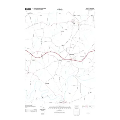
2013 Map of Knox
USGS Topo · Published 2013About this map
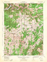
Clarion River loops through the southern portion of this Clarion County quadrangle, defining a landscape marked by historic river-side industry and scattered rural settlements. The borough of Knox stands as the primary population center in the north, while the southern bank is anchored by the historic community of Callensburg. The map documents a network of named crossroads and hamlets, including Turkey City, Blairs Corners, and Wentlings Corners, which highlight the region's enduring rural character into the early 21st century.
Find a feature on this map
155 named features on this map. Tap any name to fly to it.
Don’t see what you’re looking for? This feature index may not catch every label — zoom into the map to look around manually.
Map Details
Editions of this 2013 Knox Map
This is the sole edition of this map. No revisions or reprints were ever made.
Other maps of this area
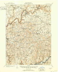
1906 · Clarion
USGS Topo · 1:62,500
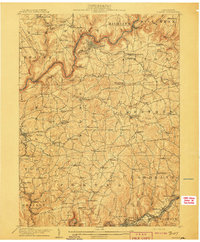
1907 · Clarion
USGS Topo · 1:62,500

1907 · Foxburg
USGS Topo · 1:62,500

1908 · Foxburg
USGS Topo · 1:62,500
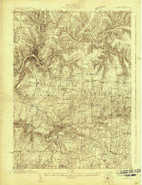
1922 · Oil City
USGS Topo · 1:48,000
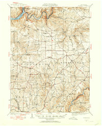
1922 · Tionesta
USGS Topo · 1:62,500
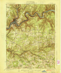
1924 · Oil City
USGS Topo · 1:62,500
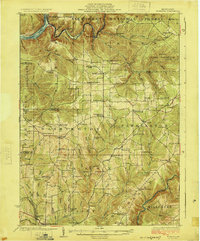
1924 · Tionesta
USGS Topo · 1:62,500
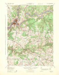
1943 · Oil City
USGS Topo · 1:62,500
1946 · Tionesta
USGS Topo · 1:62,500