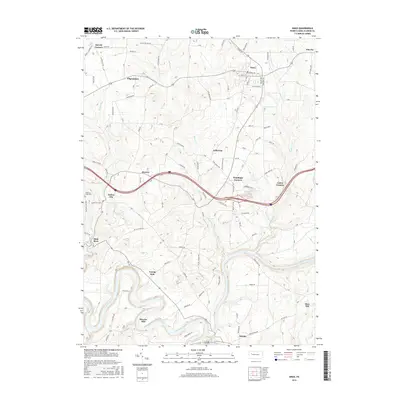
2016 Map of Knox
USGS Topo · Published 2016About this map
The Clarion River snakes through the southern portion of this landscape, carving deep bends near Stovers Mill and Turnip Hole. The geography is defined by a dense network of rural roads and creek valleys, where small settlements like Turkey City and Canoe Furnace sit as reminders of the area's industrial past. This part of Clarion County exhibits a transition from upland plateaus to the sharp relief of the river corridor, with several crossroads communities such as Wentlings Corners and Snively Corners serving as local landmarks.
Find a feature on this map
126 named features on this map. Tap any name to fly to it.
Don’t see what you’re looking for? This feature index may not catch every label — zoom into the map to look around manually.
Map Details
Editions of this 2016 Knox Map
This is the sole edition of this map. No revisions or reprints were ever made.
Other maps of this area

1906 · Clarion
USGS Topo · 1:62,500

1907 · Clarion
USGS Topo · 1:62,500

1907 · Foxburg
USGS Topo · 1:62,500

1908 · Foxburg
USGS Topo · 1:62,500

1922 · Oil City
USGS Topo · 1:48,000

1922 · Tionesta
USGS Topo · 1:62,500

1924 · Oil City
USGS Topo · 1:62,500

1924 · Tionesta
USGS Topo · 1:62,500

1943 · Oil City
USGS Topo · 1:62,500

1946 · Tionesta
USGS Topo · 1:62,500