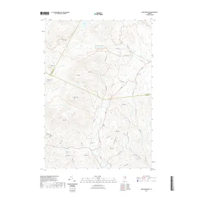
2021 Map of Knox Mountain
USGS Topo · Published 2021About this map
Knox Mtn and Signal Mtn dominate this high-elevation corner of Vermont where the borders of Washington, Caledonia, and Orange counties converge. The landscape is defined by its dramatic relief and a dense network of mountain brooks, including Nasmith Brook and Health Brook, which feed into larger arteries like the Waits River and the S Br Wells River. Remote ponds such as Noyes Pond and Pigeon Pond are tucked between summits like Spruce Mtn and Butterfield Mtn.
Find a feature on this map
57 named features on this map. Tap any name to fly to it.
Don’t see what you’re looking for? This feature index may not catch every label — zoom into the map to look around manually.
Map Details
Editions of this 2021 Knox Mountain Map
This is the sole edition of this map. No revisions or reprints were ever made.
Other maps of this area

1931 · Woodsville
USGS Topo · 1:48,000

1935 · Woodsville
USGS Topo · 1:62,500

1938 · St. Johnsbury
USGS Topo · 1:48,000

1939 · Plainfield
USGS Topo · 1:48,000

1940 · Plainfield
USGS Topo · 1:62,500

1941 · Woodsville
USGS Topo · 1:62,500

1943 · Plainfield
USGS Topo · 1:62,500

1943 · St. Johnsbury
USGS Topo · 1:62,500

1947 · Corinth
USGS Topo · 1:62,500

1948 · East Barre
USGS Topo · 1:62,500