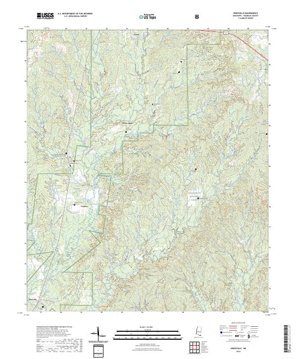
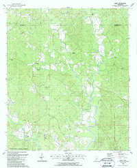
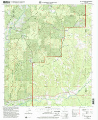
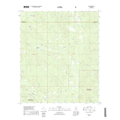
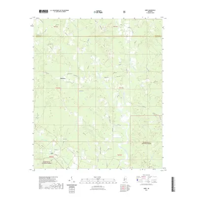
2024 Map of Knoxville
USGS Topo · Published 2024About this map
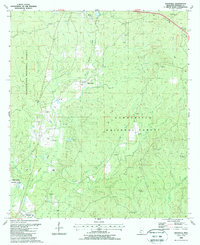
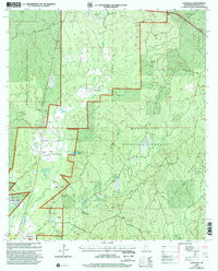
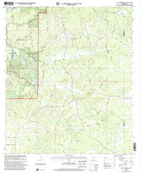
Homochitto National Forest encompasses much of this landscape, where small communities like Knoxville and White Apple are connected by a network of rural roads such as Knoxville Rd and White Apple Rd. The settlement pattern is largely defined by numerous family and community burial grounds, including the McMillan Cem, Owens Cem, and the Butler Graveyard Rd area, offering significant points of interest for genealogical research in Franklin County.
Find a feature on this map
55 named features on this map. Tap any name to fly to it.
Don’t see what you’re looking for? This feature index may not catch every label — zoom into the map to look around manually.
Map Details
Editions of this 2024 Knoxville Map
This is the sole edition of this map. No revisions or reprints were ever made.
Historical Maps of Roxie Through Time
33 maps found
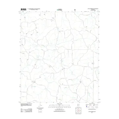
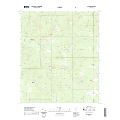
1972 Little Springs
Franklin County, MS
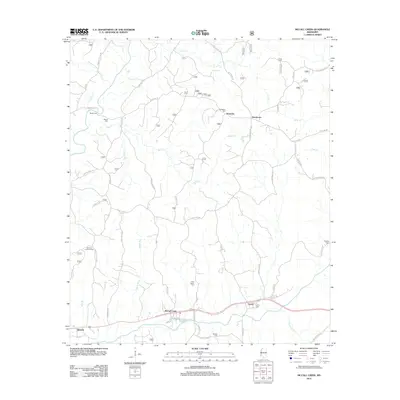
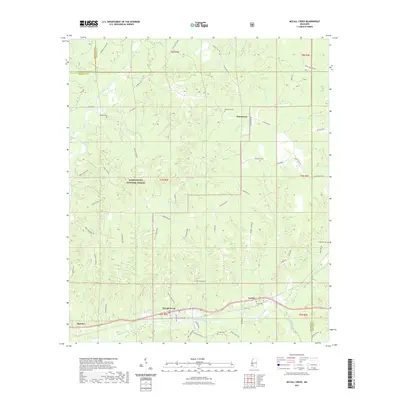
1972 McCall Creek
Franklin County, MS
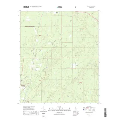
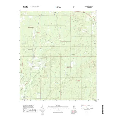
1988 Eddiceton
Franklin County, MS
1988 Kirby
Franklin County, MS
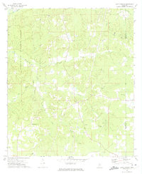
1988 Knoxville
Franklin County, MS
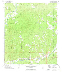
2000 Knoxville
Franklin County, MS
2000 Little Springs
Franklin County, MS
2000 McCall Creek
Franklin County, MS
2012 Eddiceton
Franklin County, MS
2012 Kirby
Franklin County, MS
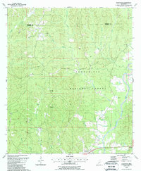
2012 Knoxville
Franklin County, MS
2012 Little Springs
Franklin County, MS
2012 McCall Creek
Franklin County, MS
2015 Eddiceton
Franklin County, MS
2015 Kirby
Franklin County, MS
2015 Knoxville
Franklin County, MS
2015 Little Springs
Franklin County, MS
2015 McCall Creek
Franklin County, MS
2018 Eddiceton
Franklin County, MS
2018 Kirby
Franklin County, MS
2018 Knoxville
Franklin County, MS
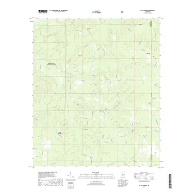
2018 Little Springs
Franklin County, MS
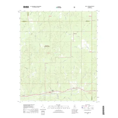
2018 McCall Creek
Franklin County, MS

2021 Eddiceton
Franklin County, MS
2021 Kirby
Franklin County, MS
2021 Knoxville
Franklin County, MS
2021 Little Springs
Franklin County, MS
2021 McCall Creek
Franklin County, MS
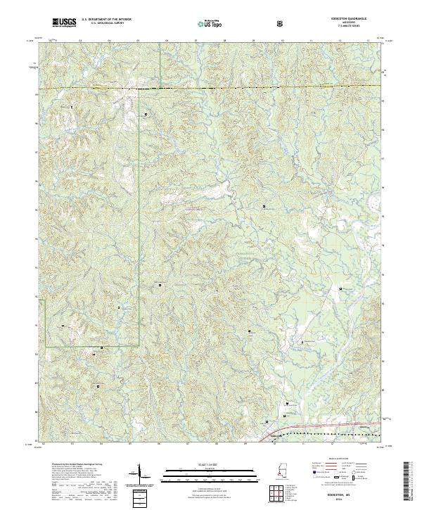
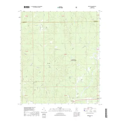
2024 Eddiceton
Franklin County, MS
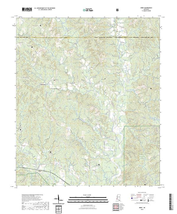
2024 Kirby
Franklin County, MS
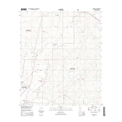
2024 Knoxville
Franklin County, MS
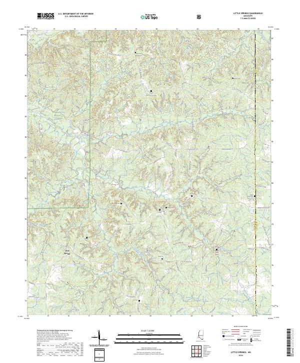
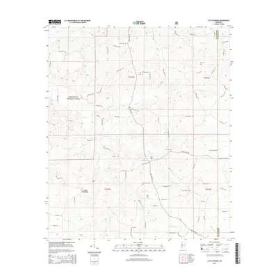
2024 Little Springs
Franklin County, MS
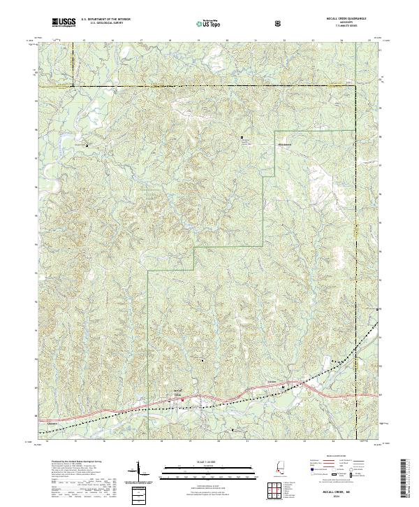
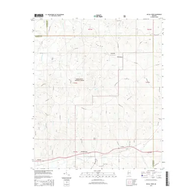
2024 McCall Creek
Franklin County, MS