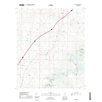
2018 Map of Knoxville
USGS Topo · Published 2018About this map
Warrior Lake and the winding course of the Black Warrior River define this West Alabama landscape, marking the boundary between Greene and Hale counties. The river's historical importance to navigation is evidenced by numerous named bars and shoals, including Hickmans Bar, Brodnax Bar, and Merriweather Reef. These river features, alongside Chiles Ferry Bar and Childs Ferry Point, point to an era of river-based transport and crossing points that shaped early settlement in the region.
Find a feature on this map
85 named features on this map. Tap any name to fly to it.
Don’t see what you’re looking for? This feature index may not catch every label — zoom into the map to look around manually.
Map Details
Editions of this 2018 Knoxville Map
This is the sole edition of this map. No revisions or reprints were ever made.
Other maps of this area

1924 · Tuscaloosa
USGS Topo · 1:62,500

1926 · Tuscaloosa
USGS Topo · 1:62,500

1927 · Eutaw
USGS Topo · 1:48,000

1931 · Eutaw
USGS Topo · 1:62,500

1953 · Montgomery
USGS Topo · 1:250,000

1953 · Birmingham
USGS Topo · 1:250,000

1956 · Birmingham
USGS Topo · 1:250,000

1956 · Montgomery
USGS Topo · 1:250,000

1957 · Birmingham
USGS Topo · 1:250,000

1957 · Montgomery
USGS Topo · 1:250,000