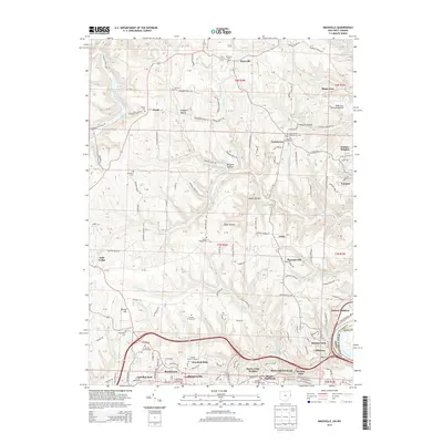
2013 Map of Knoxville
USGS Topo · Published 2013About this map
Knoxville and the hills of eastern Ohio overlook the Ohio River as it passes the industrial and residential corridors of Toronto and Alikanna. This 2013 survey shows the suburban expansion around Wintersville, where communities like Beechwood, Canellas Park, and Overlook Hills have established themselves amidst a complex network of local townships roads. The landscape is defined by its deep drainages, including Dungeon Hollow and Egypt Hollow, which feed into Island Cr and N Fork Wills Cr.
Find a feature on this map
146 named features on this map. Tap any name to fly to it.
Don’t see what you’re looking for? This feature index may not catch every label — zoom into the map to look around manually.
Map Details
Editions of this 2013 Knoxville Map
This is the sole edition of this map. No revisions or reprints were ever made.
Other maps of this area

1901 · Cadiz
USGS Topo · 1:62,500

1903 · Cadiz
USGS Topo · 1:62,500

1904 · Wellsville
USGS Topo · 1:62,500

1904 · Steubenville
USGS Topo · 1:62,500

1905 · Salineville
USGS Topo · 1:62,500

1935 · Steubenville
USGS Topo · 1:62,500

1937 · Wellsville
USGS Topo · 1:62,500

1942 · Steubenville
USGS Topo · 1:62,500

1944 · Wellsville
USGS Topo · 1:62,500

1951 · Canton
USGS Topo · 1:250,000