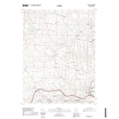
2019 Map of Knoxville
USGS Topo · Published 2019About this map
Steubenville and Wintersville anchor the southern portion of this landscape, marking the westward expansion of the upper Ohio River valley's industrial corridor. The map details a transition from the urban density of the river towns to the dissected plateau of Jefferson County, where deep hollows like Dungeon Hollow and Egypt Hollow define the rural character. This interior is dotted with historical markers of early settlement, specifically a dense network of community burial grounds including Island Creek Presbyterian Cem and the Center Chapel Cem.
Find a feature on this map
128 named features on this map. Tap any name to fly to it.
Don’t see what you’re looking for? This feature index may not catch every label — zoom into the map to look around manually.
Map Details
Editions of this 2019 Knoxville Map
This is the sole edition of this map. No revisions or reprints were ever made.
Other maps of this area

1901 · Cadiz
USGS Topo · 1:62,500

1903 · Cadiz
USGS Topo · 1:62,500

1904 · Wellsville
USGS Topo · 1:62,500

1904 · Steubenville
USGS Topo · 1:62,500

1905 · Salineville
USGS Topo · 1:62,500

1935 · Steubenville
USGS Topo · 1:62,500

1937 · Wellsville
USGS Topo · 1:62,500

1942 · Steubenville
USGS Topo · 1:62,500

1944 · Wellsville
USGS Topo · 1:62,500

1951 · Canton
USGS Topo · 1:250,000