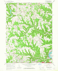
1958 Map of Knoxville
USGS Topo · Published 1966About this map
The hills of Jefferson County define this landscape, where the Ohio River forms the state boundary with West Virginia. During the mid-1950s, the region was characterized by a heavy presence of strip mining activity interspersed with rural settlements. The northern portion of the map centers on Knoxville, while the southern reaches show the residential expansion of Wintersville and Buena Vista Heights near the Steubenville city limits. Local history is deeply etched into the terrain through family-named landmarks like Norton Hill and Brier Hill.
Find a feature on this map
56 named features on this map. Tap any name to fly to it.
Don’t see what you’re looking for? This feature index may not catch every label — zoom into the map to look around manually.
Map Details
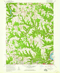
Editions of this 1958 Knoxville Map
2 editions found
Other maps of this area

1901 · Cadiz
USGS Topo · 1:62,500

1903 · Cadiz
USGS Topo · 1:62,500

1904 · Wellsville
USGS Topo · 1:62,500

1904 · Steubenville
USGS Topo · 1:62,500

1905 · Salineville
USGS Topo · 1:62,500

1935 · Steubenville
USGS Topo · 1:62,500

1937 · Wellsville
USGS Topo · 1:62,500

1942 · Steubenville
USGS Topo · 1:62,500

1944 · Wellsville
USGS Topo · 1:62,500

1951 · Canton
USGS Topo · 1:250,000