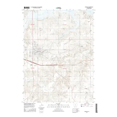
2015 Map of Knoxville
USGS Topo · Published 2015About this map
Knoxville serves as the central hub of this Marion County landscape, where the urban grid meets the rolling drainages of English Cr and Competine Cr. The map reveals a dense distribution of rural burial sites, including Greenwood Cem and Graceland Cem, which offer significant value for genealogical research in the area. To the east, the small communities of Flagler and Pershing sit near the winding course of the creek, with the Zion of Pershing Cem marking the latter settlement's local history.
Find a feature on this map
72 named features on this map. Tap any name to fly to it.
Don’t see what you’re looking for? This feature index may not catch every label — zoom into the map to look around manually.
Map Details
Editions of this 2015 Knoxville Map
This is the sole edition of this map. No revisions or reprints were ever made.
Other maps of this area
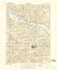
1909 · Knoxville
USGS Topo · 1:62,500
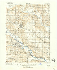
1910 · Pella
USGS Topo · 1:62,500
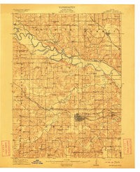
1912 · Knoxville
USGS Topo · 1:62,500
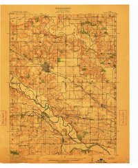
1912 · Pella
USGS Topo · 1:62,500
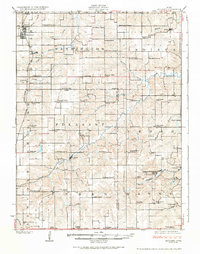
1924 · Melcher
USGS Topo · 1:62,500
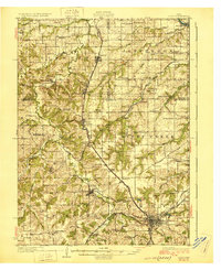
1929 · Albia
USGS Topo · 1:62,500

1954 · Des Moines
USGS Topo · 1:250,000

1956 · Des Moines
USGS Topo · 1:250,000

1957 · Des Moines
USGS Topo · 1:250,000
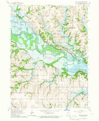
1965 · Knoxville NW
USGS Topo · 1:24,000