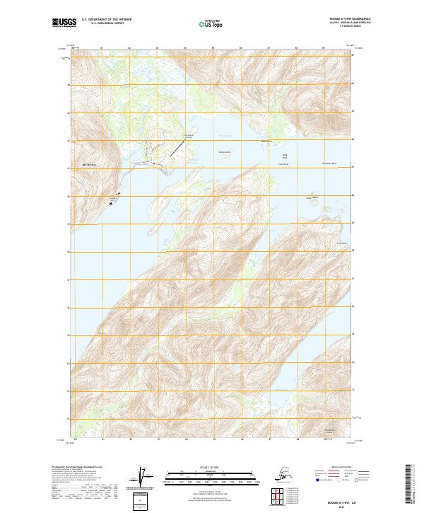
2021 Map of Kodiak A-4 NW
USGS Topo · Published 2021About this map
Old Harbor serves as the central hub of this coastal landscape on the southeastern shore of Kodiak Island. The village is connected to the Old Harbor Airport by a small network of local roads including Mountain View Road and Beach Road, while the Old Harbor Cem sits on the outskirts of the settlement. The town overlooks the protected waters of Sitkalidak Passage, which separates the main island from the northern reaches of Sitkalidak Island. This maritime geography is defined by deep inlets and bays, such as Amee Bay and McCord Bay, which provided essential shelter and access for fishing and transportation. Prominent nautical landmarks like Bush Point, Shag Rock, and Aberdeen Rock highlight the intricate shoreline and navigational hazards surrounding Sheep Island and the smaller Cub Island.
Find a feature on this map
27 named features on this map. Tap any name to fly to it.
Don’t see what you’re looking for? This feature index may not catch every label — zoom into the map to look around manually.
Map Details
Editions of this 2021 Kodiak A-4 NW Map
This is the sole edition of this map. No revisions or reprints were ever made.
Other maps of this area

1952 · Kodiak
USGS Topo · 1:250,000

1952 · Kodiak B-5
USGS Topo · 1:63,360

1952 · Kodiak B-4
USGS Topo · 1:63,360
1952 · Kodiak A-5
USGS Topo · 1:63,360
1952 · Kodiak A-4
USGS Topo · 1:63,360
1954 · Kodiak A-4
USGS Topo · 1:63,360
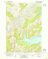
1954 · Kodiak B-4
USGS Topo · 1:63,360
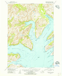
1954 · Kodiak A-5
USGS Topo · 1:63,360
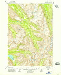
1954 · Kodiak B-5
USGS Topo · 1:63,360
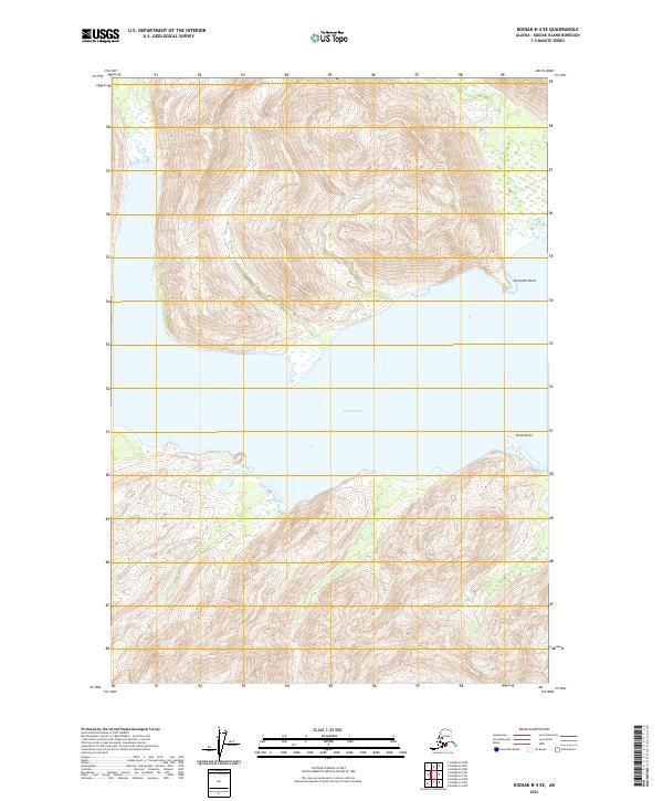
2021 · Kodiak B-4 SE
USGS Topo · 1:25,000