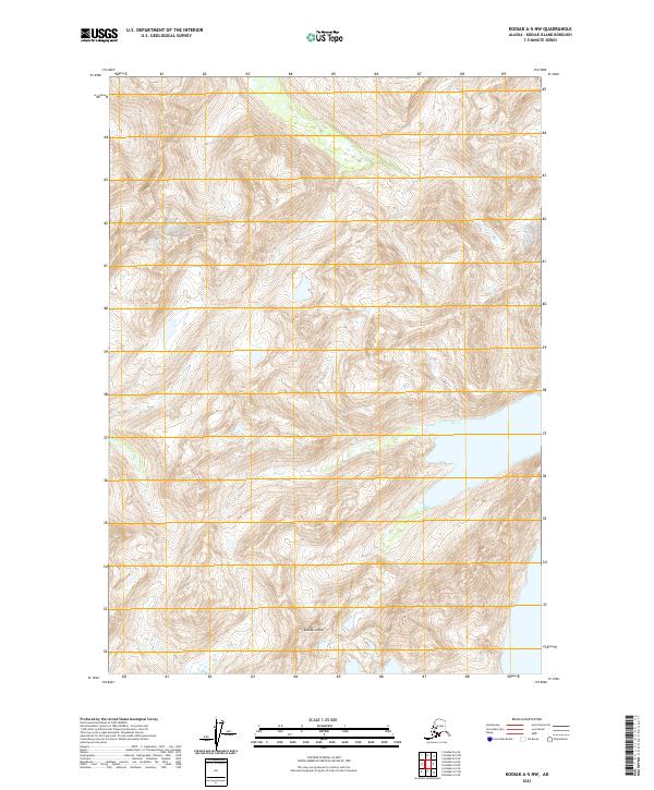
2021 Map of Kodiak A-5 NW
USGS Topo · Published 2021About this map
Kodiak Island terrain dominates this modern topographic survey, illustrating a largely unsettled landscape defined by extreme elevation changes and complex drainage patterns. The interior is organized by the Public Land Survey System, including boundaries for T34s R27w, T34s R28w, and T35s R27w. While specific named landmarks are sparse, the detailed contour intervals reveal the intricate physical geography of the island's high country. This map provides a technical view of the island's topography as it existed in the early twenty-first century, serving as a primary reference for the land divisions and hydrography within the T35s R28w township area.
Find a feature on this map
5 named features on this map. Tap any name to fly to it.
Don’t see what you’re looking for? This feature index may not catch every label — zoom into the map to look around manually.
Map Details
Editions of this 2021 Kodiak A-5 NW Map
This is the sole edition of this map. No revisions or reprints were ever made.
Other maps of this area

1952 · Kodiak
USGS Topo · 1:250,000

1952 · Kodiak B-6
USGS Topo · 1:63,360

1952 · Kodiak B-5
USGS Topo · 1:63,360

1952 · Kodiak A-6
USGS Topo · 1:63,360
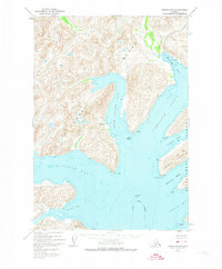
1952 · Kodiak A-5
USGS Topo · 1:63,360
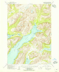
1954 · Kodiak A-6
USGS Topo · 1:63,360
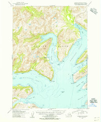
1954 · Kodiak A-5
USGS Topo · 1:63,360
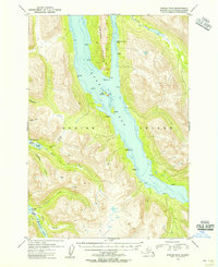
1954 · Kodiak B-6
USGS Topo · 1:63,360
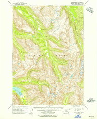
1954 · Kodiak B-5
USGS Topo · 1:63,360
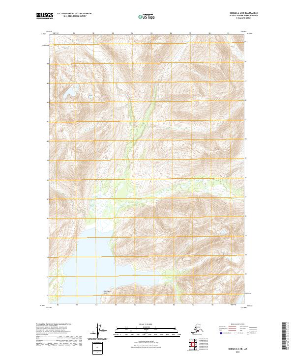
2021 · Kodiak A-6 NE
USGS Topo · 1:25,000