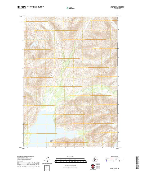
2021 Map of Kodiak A-6 NE
USGS Topo · Published 2021About this map
Alpine Cove anchors the southern portion of this landscape on Kodiak Island, where the sea meets the rising elevations of the interior. The terrain is defined by extreme relief, captured through dense contour lines that trace the sharp ascent from the shoreline up to the high ridges and peaks. One prominent coastal landmark, Ptarmigan Point, marks the transition from the water's edge to the steep inland slopes. This 2021 survey reflects the largely undeveloped and wilderness character of this part of the island, where the primary organizational structures are the Public Land Survey System grids, such as t34s r28w and t35s r29w. The map serves as a precise record of the natural hydrography and shoreline as they existed in the early twenty-first century.
Find a feature on this map
6 named features on this map. Tap any name to fly to it.
Don’t see what you’re looking for? This feature index may not catch every label — zoom into the map to look around manually.
Map Details
Editions of this 2021 Kodiak A-6 NE Map
This is the sole edition of this map. No revisions or reprints were ever made.
Other maps of this area

1952 · Kodiak
USGS Topo · 1:250,000

1952 · Kodiak B-6
USGS Topo · 1:63,360

1952 · Kodiak B-5
USGS Topo · 1:63,360

1952 · Kodiak A-6
USGS Topo · 1:63,360
1952 · Kodiak A-5
USGS Topo · 1:63,360
1954 · Kodiak A-6
USGS Topo · 1:63,360
1954 · Kodiak A-5
USGS Topo · 1:63,360
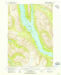
1954 · Kodiak B-6
USGS Topo · 1:63,360
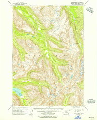
1954 · Kodiak B-5
USGS Topo · 1:63,360
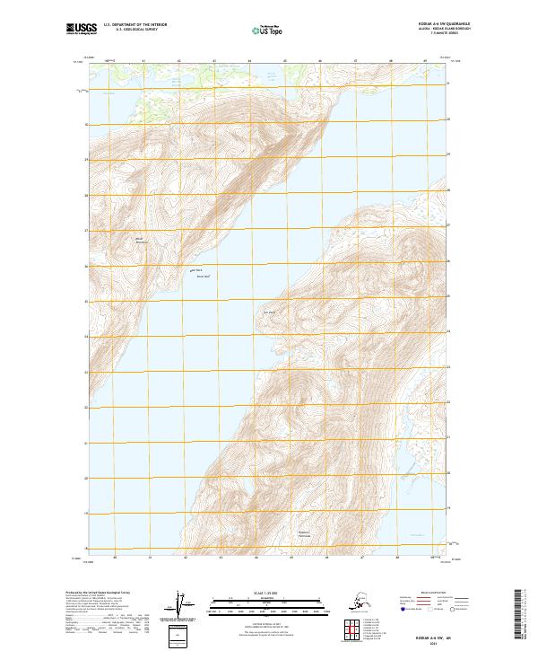
2021 · Kodiak A-6 SW
USGS Topo · 1:25,000