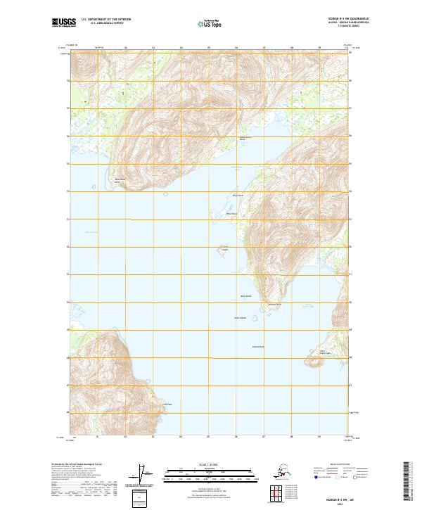
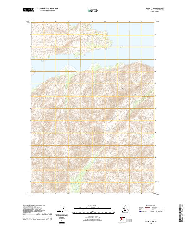
2021 Map of Kodiak B-3 SW
USGS Topo · Published 2021About this map
Shearwater Bay and Kiliuda Bay dominate this coastal survey of Kodiak Island's intricate shoreline. The topography is defined by high-elevation ridges that drop sharply into the sea, forming a series of sheltered inlets and prominent headlands. Geographic markers such as Observation Point, Bluff Point, and Pillar Point offer distinct navigational references along the northern coast. To the south, the map details small, isolated landforms including Ladder Island, Nest Island, and Dusk Island, which sit just offshore from Ermine Point. The convergence of land and water is further marked by the presence of Kiliuda Rock and the wide reach of Santa Flavia Bay in the southeast. This document serves as a modern record of the island's complex hydrology and coastal morphology, tracing the boundaries of Township 33 South.
Find a feature on this map
20 named features on this map. Tap any name to fly to it.
Don’t see what you’re looking for? This feature index may not catch every label — zoom into the map to look around manually.
Map Details
Editions of this 2021 Kodiak B-3 SW Map
This is the sole edition of this map. No revisions or reprints were ever made.
Other maps of this area

1949 · Kodiak A-3
USGS Topo · 1:63,360

1949 · Kodiak B-3
USGS Topo · 1:63,360

1950 · Kodiak A-3
USGS Topo · 1:63,360

1950 · Kodiak B-3
USGS Topo · 1:63,360

1952 · Kodiak
USGS Topo · 1:250,000

1952 · Kodiak B-4
USGS Topo · 1:63,360
1952 · Kodiak A-4
USGS Topo · 1:63,360
1954 · Kodiak A-4
USGS Topo · 1:63,360
1954 · Kodiak B-4
USGS Topo · 1:63,360
2021 · Kodiak B-3 NW
USGS Topo · 1:25,000