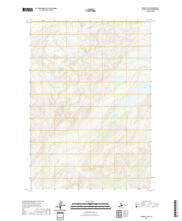
2021 Map of Kodiak B-4 NE
USGS Topo · Published 2021About this map
Uganik River flows through the western interior of this coastal terrain, highlighting the drainage patterns of Kodiak Island as they were documented in the early twenty-first century. The map illustrates the island's transition from high alpine elevations down toward the eastern shoreline at Ugak Bay. Along this coastal margin, the inlet at Shashgat Bay provides a specific point of reference for maritime and topographical study. The cartography is defined by the Public Land Survey System grids, including t31s r24w and t31s r23w, which overlay a landscape of high ridgelines and glacial valleys. This survey captures a moment in the modern era before shifting climate patterns might further alter the hydrography and wetland distributions across these sensitive Alaskan environments.
Find a feature on this map
7 named features on this map. Tap any name to fly to it.
Don’t see what you’re looking for? This feature index may not catch every label — zoom into the map to look around manually.
Map Details
Editions of this 2021 Kodiak B-4 NE Map
This is the sole edition of this map. No revisions or reprints were ever made.
Other maps of this area

1949 · Kodiak B-3
USGS Topo · 1:63,360

1950 · Kodiak B-3
USGS Topo · 1:63,360

1952 · Kodiak
USGS Topo · 1:250,000

1952 · Kodiak C-3
USGS Topo · 1:63,360

1952 · Kodiak C-4
USGS Topo · 1:63,360

1952 · Kodiak B-4
USGS Topo · 1:63,360

1954 · Kodiak C-3
USGS Topo · 1:63,360
1954 · Kodiak B-4
USGS Topo · 1:63,360
1954 · Kodiak C-4
USGS Topo · 1:63,360
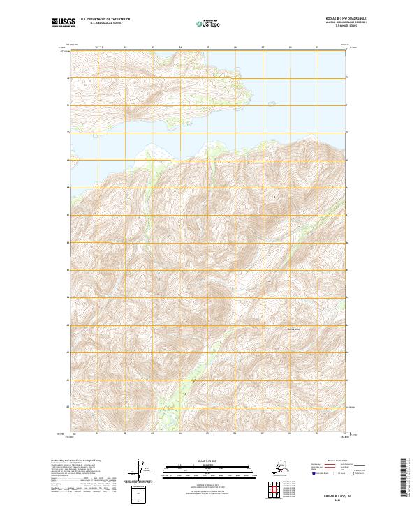
2021 · Kodiak B-3 NW
USGS Topo · 1:25,000