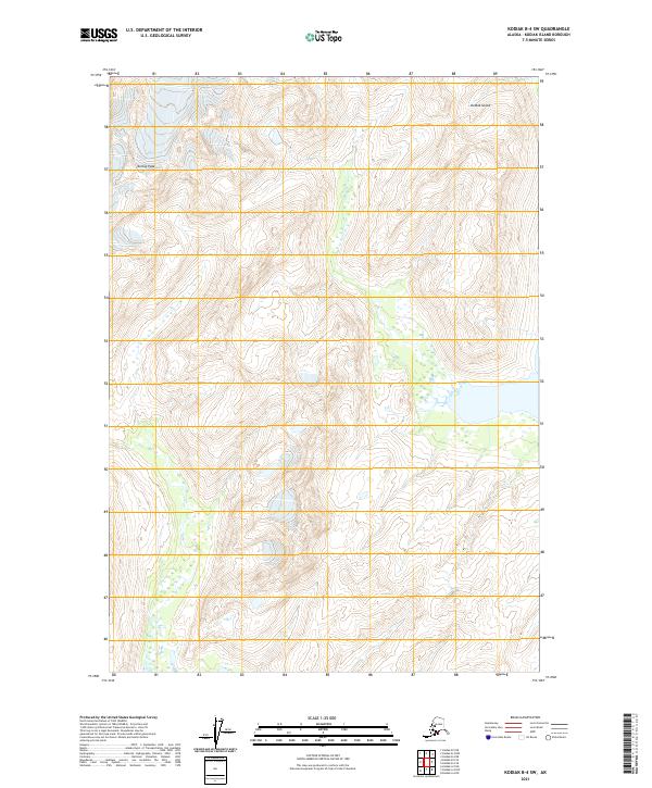
2021 Map of Kodiak B-4 SW
USGS Topo · Published 2021About this map
Koniag Peak dominates the northwestern corner of this interior portion of Kodiak Island, rising above a landscape of high alpine basins and numerous unnamed alpine lakes. This 2021 survey, produced by the U.S. Geological Survey using modern data from the Bureau of Land Management and U.S. Fish and Wildlife Service, documents the intricate township and range grid lines of the Public Land Survey System. These administrative boundaries, including t32s r25w and t33s r25w, overlay the natural drainages and wetlands mapped by the National Wetlands Inventory. The absence of roads or permanent settlements in this quadrangle highlights the undeveloped character of the island's high country, where topographic contours and hydrographic data reveal a complex network of seasonal runoff and permanent mountain water bodies.
Find a feature on this map
10 named features on this map. Tap any name to fly to it.
Don’t see what you’re looking for? This feature index may not catch every label — zoom into the map to look around manually.
Map Details
Editions of this 2021 Kodiak B-4 SW Map
This is the sole edition of this map. No revisions or reprints were ever made.
Other maps of this area

1952 · Kodiak
USGS Topo · 1:250,000

1952 · Kodiak B-5
USGS Topo · 1:63,360

1952 · Kodiak B-4
USGS Topo · 1:63,360
1952 · Kodiak A-5
USGS Topo · 1:63,360
1952 · Kodiak A-4
USGS Topo · 1:63,360
1954 · Kodiak A-4
USGS Topo · 1:63,360
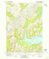
1954 · Kodiak B-4
USGS Topo · 1:63,360
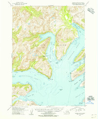
1954 · Kodiak A-5
USGS Topo · 1:63,360
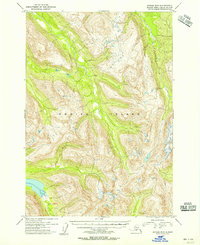
1954 · Kodiak B-5
USGS Topo · 1:63,360
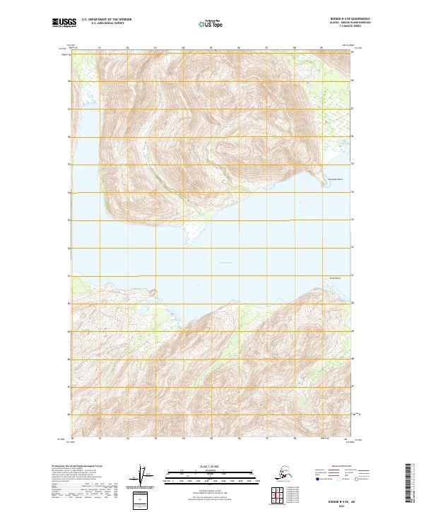
2021 · Kodiak B-4 SE
USGS Topo · 1:25,000