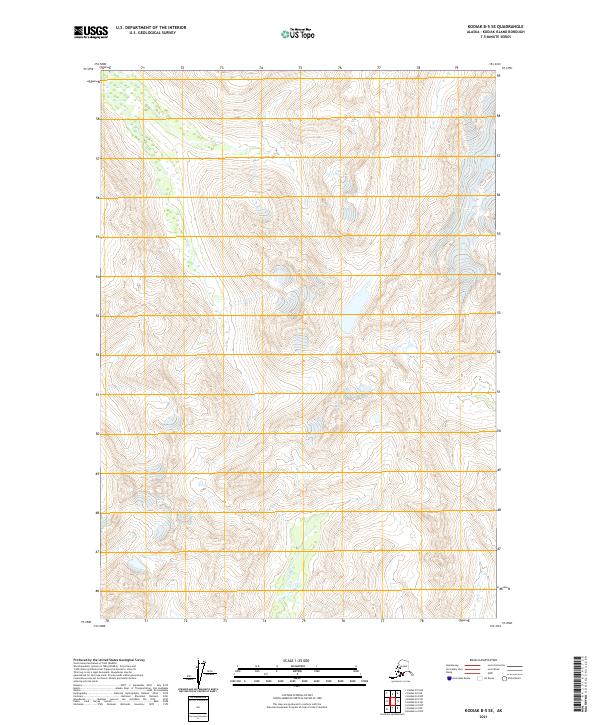
2021 Map of Kodiak B-5 SE
USGS Topo · Published 2021About this map
The interior of Kodiak Island is defined here by its steep, unpopulated topography and complex wetland networks. Surveyed by the U.S. Geological Survey in the early 21st century, the landscape is organized primarily by the Public Land Survey System, with township and range lines like T33s R26w and T32s R26w providing the only named human structure in this roadless territory. The terrain rises to elevations exceeding 3,000 feet, where the high mountain ridges overlook isolated tarns and sprawling wetlands in the lower drainage basins. This area reflects a wilderness state, where lack of road infrastructure or established settlements shifts the focus entirely to the natural hydrology and topographical relief that dictate the movement through this portion of the Kodiak Island Borough.
Find a feature on this map
6 named features on this map. Tap any name to fly to it.
Don’t see what you’re looking for? This feature index may not catch every label — zoom into the map to look around manually.
Map Details
Editions of this 2021 Kodiak B-5 SE Map
This is the sole edition of this map. No revisions or reprints were ever made.
Other maps of this area

1952 · Kodiak
USGS Topo · 1:250,000

1952 · Kodiak B-5
USGS Topo · 1:63,360

1952 · Kodiak B-4
USGS Topo · 1:63,360
1952 · Kodiak A-5
USGS Topo · 1:63,360
1952 · Kodiak A-4
USGS Topo · 1:63,360
1954 · Kodiak A-4
USGS Topo · 1:63,360
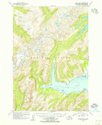
1954 · Kodiak B-4
USGS Topo · 1:63,360
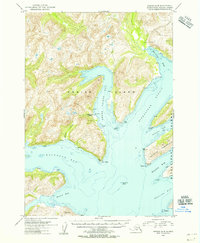
1954 · Kodiak A-5
USGS Topo · 1:63,360
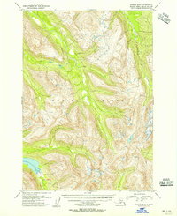
1954 · Kodiak B-5
USGS Topo · 1:63,360
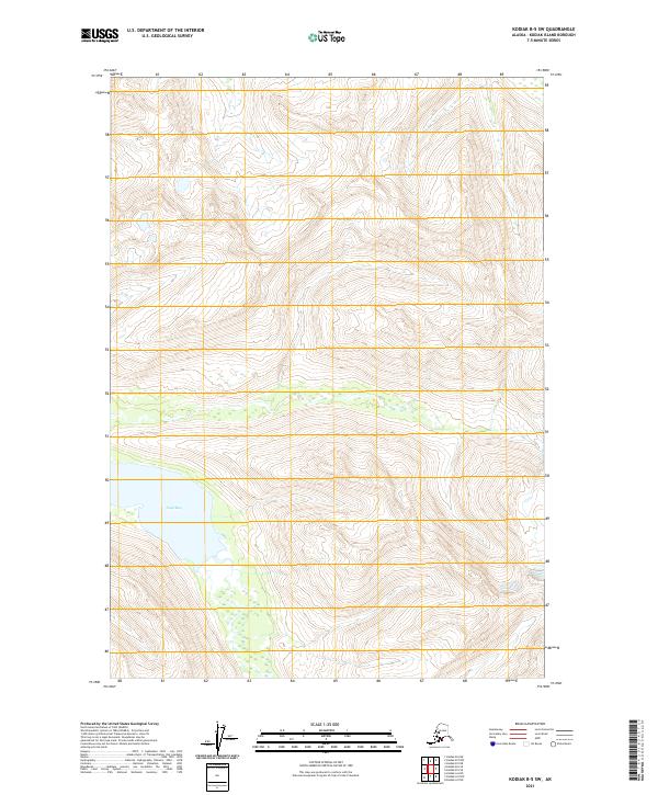
2021 · Kodiak B-5 SW
USGS Topo · 1:25,000