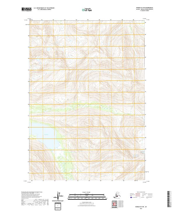
2021 Map of Kodiak B-5 SW
USGS Topo · Published 2021About this map
Uyak Bay serves as the primary coastal landmark for this isolated portion of Kodiak Island, where tidal waters meet the steep elevations of the southwestern archipelago. This 2021 survey illustrates the complex topography defined by several Public Land Survey System townships, including t33s r27w and t34s r27w, which divide the mountainous terrain. The map reflects a landscape almost entirely devoid of modern infrastructure or named settlements, focusing instead on the hydrography of the bay and the precise contouring of the interior peaks. It remains a essential reference for understanding the modern boundary configurations and natural coastline of this remote Alaskan environment.
Find a feature on this map
7 named features on this map. Tap any name to fly to it.
Don’t see what you’re looking for? This feature index may not catch every label — zoom into the map to look around manually.
Map Details
Editions of this 2021 Kodiak B-5 SW Map
This is the sole edition of this map. No revisions or reprints were ever made.
Other maps of this area

1952 · Kodiak
USGS Topo · 1:250,000

1952 · Kodiak B-6
USGS Topo · 1:63,360

1952 · Kodiak B-5
USGS Topo · 1:63,360

1952 · Kodiak A-6
USGS Topo · 1:63,360
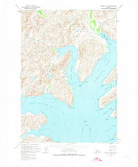
1952 · Kodiak A-5
USGS Topo · 1:63,360
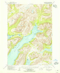
1954 · Kodiak A-6
USGS Topo · 1:63,360
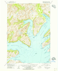
1954 · Kodiak A-5
USGS Topo · 1:63,360
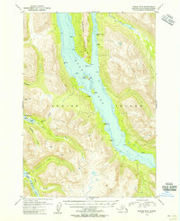
1954 · Kodiak B-6
USGS Topo · 1:63,360
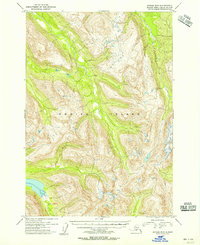
1954 · Kodiak B-5
USGS Topo · 1:63,360
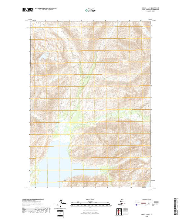
2021 · Kodiak A-6 NE
USGS Topo · 1:25,000