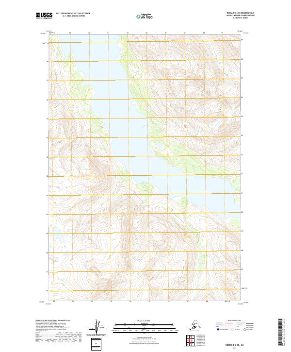
2021 Map of Kodiak B-6 SE
USGS Topo · Published 2021About this map
Kodiak Island’s interior terrain is defined by dramatic elevation changes and a central waterway, as documented in this modern topographic study. The landscape is primarily organized by the Public Land Survey System, with the central corridor falling within T33s R28w. To the north, the terrain transitions into T32s R28w, while the southern reaches extend into T34s R28w. This map represents a pristine, undeveloped stretch of Alaska where the focus remains entirely on the natural contours and hydrological patterns rather than human settlements or infrastructure. The steep slopes and deep valleys shown here are typical of the island's mountainous geography, providing essential data for those studying the physical evolution of the region.
Find a feature on this map
6 named features on this map. Tap any name to fly to it.
Don’t see what you’re looking for? This feature index may not catch every label — zoom into the map to look around manually.
Map Details
Editions of this 2021 Kodiak B-6 SE Map
This is the sole edition of this map. No revisions or reprints were ever made.
Other maps of this area

1952 · Kodiak
USGS Topo · 1:250,000

1952 · Kodiak B-6
USGS Topo · 1:63,360

1952 · Kodiak B-5
USGS Topo · 1:63,360

1952 · Kodiak A-6
USGS Topo · 1:63,360
1952 · Kodiak A-5
USGS Topo · 1:63,360
1954 · Kodiak A-6
USGS Topo · 1:63,360
1954 · Kodiak A-5
USGS Topo · 1:63,360
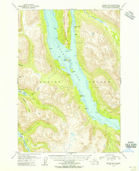
1954 · Kodiak B-6
USGS Topo · 1:63,360
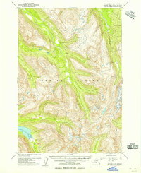
1954 · Kodiak B-5
USGS Topo · 1:63,360
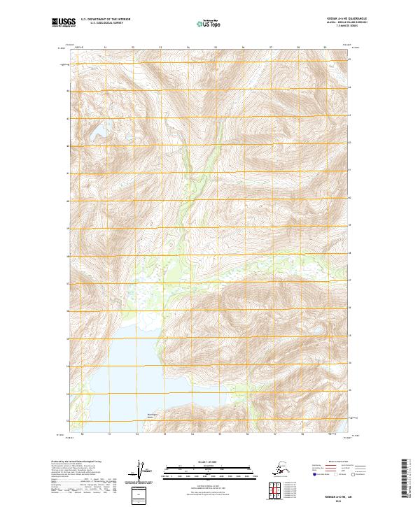
2021 · Kodiak A-6 NE
USGS Topo · 1:25,000