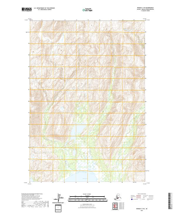
2021 Map of Kodiak C-3 SE
USGS Topo · Published 2021About this map
Saltery Cove provides the southern focal point for this 2021 study of a coastal Alaskan watershed. The terrain is dominated by the north-south flow of Saltery Cr, which meanders through a broad valley floor before emptying into the cove. This drainage system serves as a central artery for the surrounding topography, which rises sharply into the high ridges of Kodiak Island. In the northeastern corner of the map, the headwaters of the American River begin their descent through the highlands. The mapping reflects the modern Public Land Survey System divisions, including t30s r21w and t31s r22w, illustrating how these remote wilderness areas are partitioned for administrative and conservation oversight. The lack of named settlements or roads highlights the primary role of natural watercourses and maritime access in this landscape.
Find a feature on this map
9 named features on this map. Tap any name to fly to it.
Don’t see what you’re looking for? This feature index may not catch every label — zoom into the map to look around manually.
Map Details
Editions of this 2021 Kodiak C-3 SE Map
This is the sole edition of this map. No revisions or reprints were ever made.
Other maps of this area

1949 · Kodiak C-2
USGS Topo · 1:63,360

1949 · Kodiak B-1 and B-2
USGS Topo · 1:63,360

1949 · Kodiak B-3
USGS Topo · 1:63,360

1950 · Kodiak B-3
USGS Topo · 1:63,360

1951 · Kodiak B-1 and B-2
USGS Topo · 1:63,360

1952 · Kodiak
USGS Topo · 1:250,000

1952 · Kodiak C-3
USGS Topo · 1:63,360

1954 · Kodiak C-3
USGS Topo · 1:63,360
1987 · Kodiak C-2 NW
USGS Topo · 1:25,000
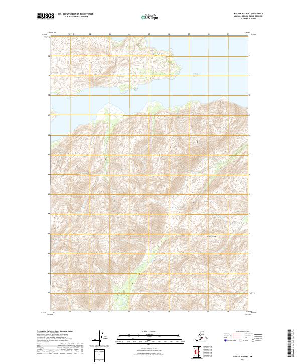
2021 · Kodiak B-3 NW
USGS Topo · 1:25,000