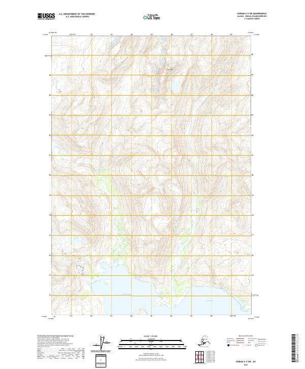
2021 Map of Kodiak C-3 SW
USGS Topo · Published 2021About this map
Crown Mtn stands as the dominant topographical feature in this coastal section of Kodiak Island, overlooking a complex system of drainage and glacial carving. To the south, the terrain descends sharply toward the shoreline of Ugak Bay and the low-lying Hidden Basin, where the transition from alpine heights to marine influence is most pronounced. The drainage of Wild Creek (labeled as Wild Cr in its upper reaches) defines the primary valley system, cutting through the island's interior. This 2021 survey by the U.S. Geological Survey utilizes high-resolution SPOT imagery to map the intricate network of wetlands and seasonal watercourses that characterize this undeveloped landscape. The absence of roads or permanent settlements underscores the isolation of this region, where the Public Land Survey System grids out townships like t30s r23w across an environment defined by elevation and water.
Find a feature on this map
11 named features on this map. Tap any name to fly to it.
Don’t see what you’re looking for? This feature index may not catch every label — zoom into the map to look around manually.
Map Details
Editions of this 2021 Kodiak C-3 SW Map
This is the sole edition of this map. No revisions or reprints were ever made.
Other maps of this area

1949 · Kodiak B-3
USGS Topo · 1:63,360

1950 · Kodiak B-3
USGS Topo · 1:63,360

1952 · Kodiak
USGS Topo · 1:250,000

1952 · Kodiak C-3
USGS Topo · 1:63,360

1952 · Kodiak C-4
USGS Topo · 1:63,360

1952 · Kodiak B-4
USGS Topo · 1:63,360

1954 · Kodiak C-3
USGS Topo · 1:63,360
1954 · Kodiak B-4
USGS Topo · 1:63,360
1954 · Kodiak C-4
USGS Topo · 1:63,360
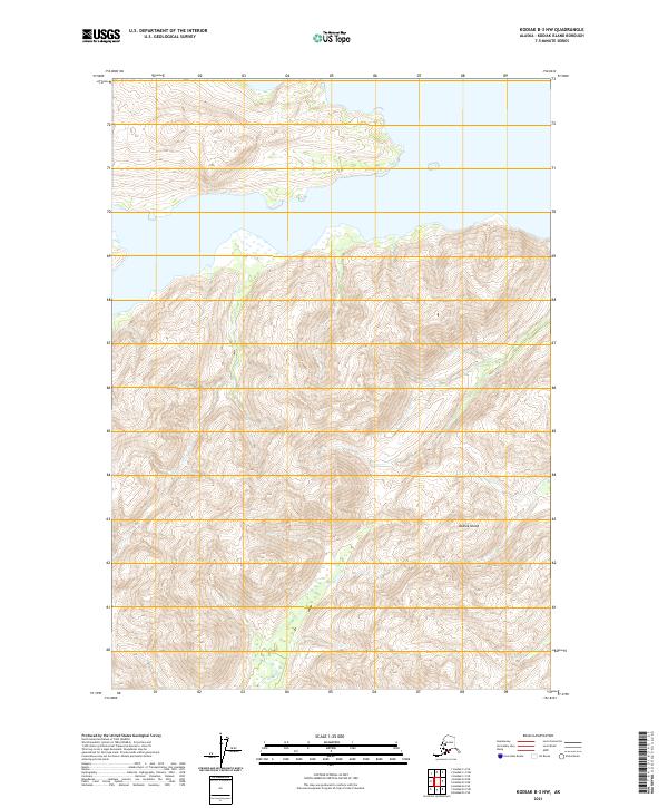
2021 · Kodiak B-3 NW
USGS Topo · 1:25,000