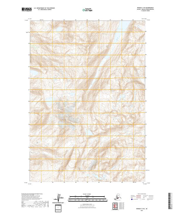
2021 Map of Kodiak C-4 SE
USGS Topo · Published 2021About this map
Mt Glottof dominates the high-elevation center of this topographic study, where jagged contour lines reveal a landscape of extreme vertical relief on Kodiak Island. The glacial character of the terrain is evident in the cirques and ridges surrounding this peak, which serves as a significant landmark in the island's interior. To the north, the waters of Terror Lake extend into the frame, representing the hydrological catchments that define this part of the archipelago. Produced by the U.S. Geological Survey using satellite imagery from 2019, the map illustrates a wilderness dominated by natural features rather than human infrastructure. The lack of roads or established settlements emphasizes the rugged isolation of the territory, providing a clear record of the island's interior geography as it remained in the early twenty-first century.
Find a feature on this map
8 named features on this map. Tap any name to fly to it.
Don’t see what you’re looking for? This feature index may not catch every label — zoom into the map to look around manually.
Map Details
Editions of this 2021 Kodiak C-4 SE Map
This is the sole edition of this map. No revisions or reprints were ever made.
Other maps of this area

1949 · Kodiak B-3
USGS Topo · 1:63,360

1950 · Kodiak B-3
USGS Topo · 1:63,360

1952 · Kodiak
USGS Topo · 1:250,000

1952 · Kodiak C-3
USGS Topo · 1:63,360

1952 · Kodiak C-4
USGS Topo · 1:63,360

1952 · Kodiak B-4
USGS Topo · 1:63,360

1954 · Kodiak C-3
USGS Topo · 1:63,360
1954 · Kodiak B-4
USGS Topo · 1:63,360
1954 · Kodiak C-4
USGS Topo · 1:63,360
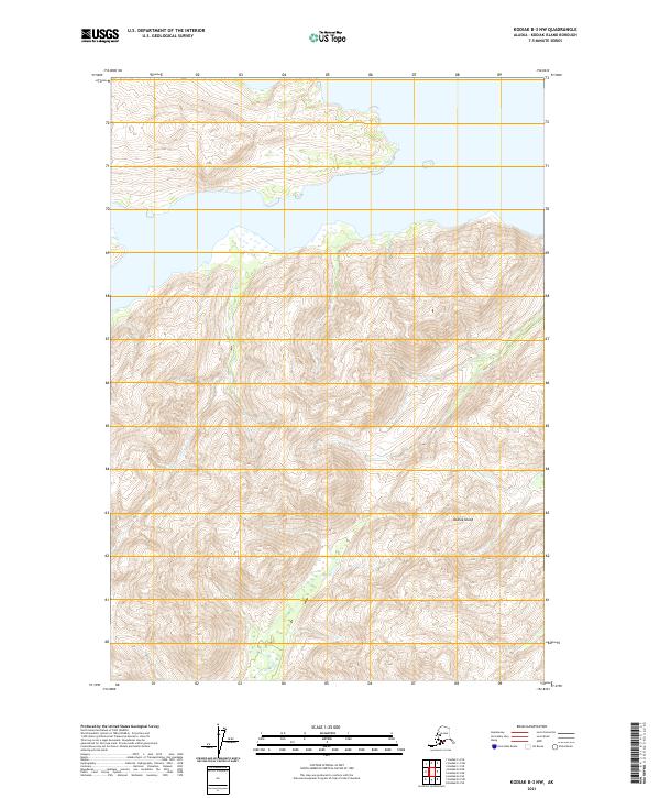
2021 · Kodiak B-3 NW
USGS Topo · 1:25,000