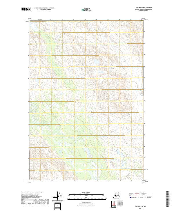
2021 Map of Kodiak C-5 SE
USGS Topo · Published 2021About this map
Untouched coastal wilderness and high mountain ridges dominate this 2021 survey of the Kodiak Island interior. The terrain is defined by extreme relief, where steep contour lines reveal a landscape of sharp peaks and glacial valleys transitioning into expansive wetland complexes in the lower elevations. Mapping is organized by the Public Land Survey System, with townships such as T29s R26w and T30s R26w providing the primary geographical framework for this roadless territory. The absence of named settlements or infrastructure highlights the preserved nature of the Alaskan backcountry during the early twenty-first century. For researchers or land managers, the map provides precise hydrographic and elevation data for the areas within T31s R26w and T30s R25w, recording the intricate network of alpine lakes and streams that drain the island's central heights.
Find a feature on this map
6 named features on this map. Tap any name to fly to it.
Don’t see what you’re looking for? This feature index may not catch every label — zoom into the map to look around manually.
Map Details
Editions of this 2021 Kodiak C-5 SE Map
This is the sole edition of this map. No revisions or reprints were ever made.
Other maps of this area

1952 · Kodiak
USGS Topo · 1:250,000

1952 · Kodiak C-4
USGS Topo · 1:63,360

1952 · Kodiak C-5
USGS Topo · 1:63,360

1952 · Kodiak B-5
USGS Topo · 1:63,360

1952 · Kodiak B-4
USGS Topo · 1:63,360
1954 · Kodiak B-4
USGS Topo · 1:63,360
1954 · Kodiak C-4
USGS Topo · 1:63,360
1954 · Kodiak B-5
USGS Topo · 1:63,360
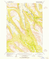
1954 · Kodiak C-5
USGS Topo · 1:63,360
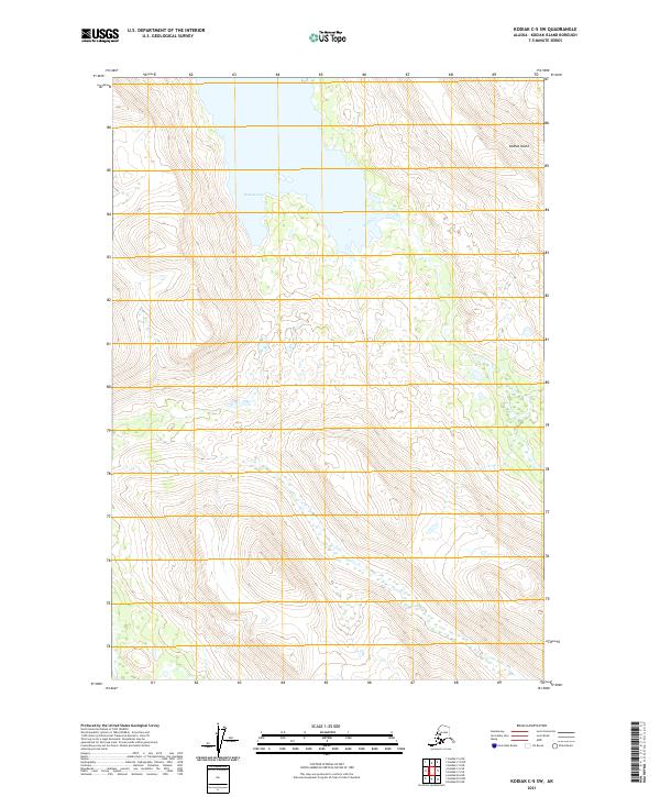
2021 · Kodiak C-5 SW
USGS Topo · 1:25,000