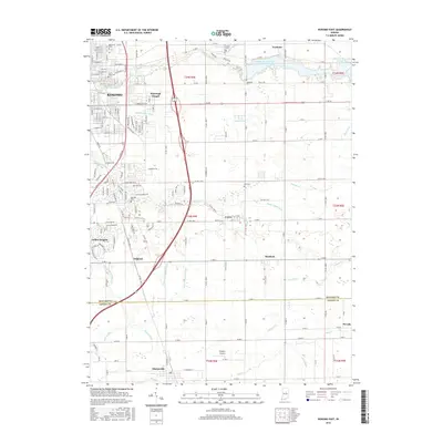
2016 Map of Kokomo East
USGS Topo · Published 2016About this map
The eastern suburbs of Kokomo and the surrounding agricultural landscape of Howard and Tipton Counties are meticulously documented in this 2016 survey. The terrain is defined by a dense network of engineered drainage, including the Mugg-Ingels Ditch, Stahl Ditch, and Cannon-Goyer Ditch, which manage water flow across the flat glacial till to support productive farmland. To the northeast, the Kokomo Waterworks Reservoir Number Two and Kokomo Reservoir Number One mark the upper reaches of Wildcat Creek, serving as critical infrastructure for the regional water supply.
Find a feature on this map
209 named features on this map. Tap any name to fly to it.
Don’t see what you’re looking for? This feature index may not catch every label — zoom into the map to look around manually.
Map Details
Editions of this 2016 Kokomo East Map
This is the sole edition of this map. No revisions or reprints were ever made.
Other maps of this area

1953 · Danville
USGS Topo · 1:250,000

1953 · Muncie
USGS Topo · 1:250,000

1955 · Danville
USGS Topo · 1:250,000

1956 · Muncie
USGS Topo · 1:250,000

1956 · Danville
USGS Topo · 1:250,000

1959 · Galveston
USGS Topo · 1:24,000

1959 · Miami
USGS Topo · 1:24,000

1960 · Kokomo West
USGS Topo · 1:24,000

1960 · Kokomo East
USGS Topo · 1:24,000

1960 · Kempton
USGS Topo · 1:24,000