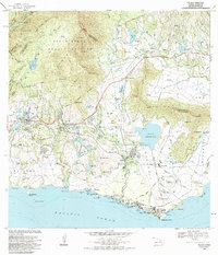
1983 Map of Koloa
USGS Topo · Published 1984About this map
Koloa Mill and the expansive Waita Reservoir anchor the southern landscape of Kauai in this early 1980s survey. The map reveals an intricate network of irrigation ditches and reservoirs, including the Alexander Reservoir and Mauka Res, which supported the agricultural industry of the Lihue District and Koloa District. Settlement patterns are concentrated around Koloa, Kalaheo, and Lawai, while the coast features landmarks like the Kuhio Monument and Koloa Landing.
Find a feature on this map
108 named features on this map. Tap any name to fly to it.
Don’t see what you’re looking for? This feature index may not catch every label — zoom into the map to look around manually.
Map Details
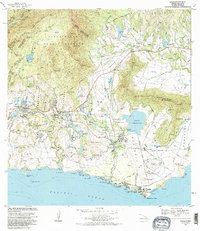
Editions of this 1983 Koloa Map
2 editions found
Other maps of this area

1954 · Kauai
USGS Topo · 1:250,000

1963 · Lihue
USGS Topo · 1:24,000

1963 · Hanapepe
USGS Topo · 1:24,000

1963 · Kapaa
USGS Topo · 1:24,000

1963 · Koloa
USGS Topo · 1:24,000

1965 · Waimea Canyon
USGS Topo · 1:24,000

1965 · Waialeale
USGS Topo · 1:24,000

1967 · Kauai
USGS Topo · 1:250,000

1970 · Kauai
USGS Topo · 1:250,000
1977 · Hanapepe
USGS Topo · 1:24,000