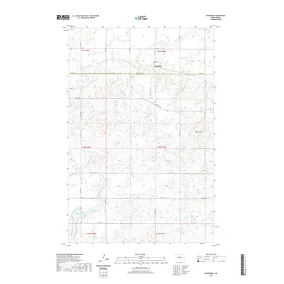
2020 Map of Kongsberg
USGS Topo · Published 2020About this map
Kongsberg sits at the intersection of McHenry and McLean counties, serving as a focal point for this section of the North Dakota prairie. The landscape is defined by the prominent Dogden Butte to the east and a network of wetlands and small water bodies, including Strawberry Lake and Camp Lake in the southern reaches. This modern digital survey reflects a long-established rural pattern, where section-line roads like 30th St N and 10th Ave N provide the primary framework for access. Cultural landmarks are sparse but significant for local history, centered on the Saint John Lutheran Cem north of the primary settlement area. The township and range boundaries detail the systematic division of the land that has dictated agricultural and residential development in this region for generations.
Find a feature on this map
32 named features on this map. Tap any name to fly to it.
Don’t see what you’re looking for? This feature index may not catch every label — zoom into the map to look around manually.
Map Details
Editions of this 2020 Kongsberg Map
This is the sole edition of this map. No revisions or reprints were ever made.
Other maps of this area

1929 · Kongsberg
USGS Topo · 1:62,500

1929 · Balfour
USGS Topo · 1:62,500

1945 · Pelican Lake
USGS Topo · 1:62,500

1947 · Pelican Lake
USGS Topo · 1:62,500

1947 · Turtle Lake
USGS Topo · 1:62,500

1954 · McClusky
USGS Topo · 1:250,000

1958 · McClusky
USGS Topo · 1:250,000

1958 · Butte
USGS Topo · 1:24,000
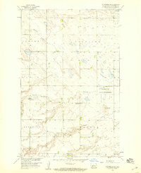
1958 · Kongsberg NE
USGS Topo · 1:24,000
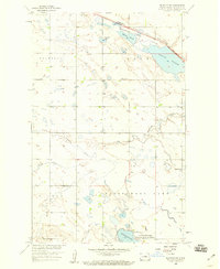
1958 · Balfour NW
USGS Topo · 1:24,000