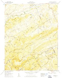
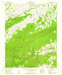
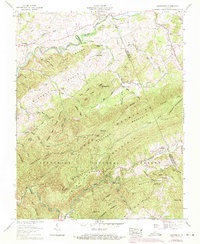
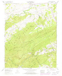
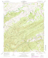
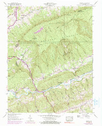
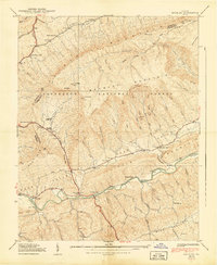
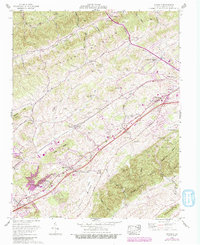
1959 Map of Konnarock
USGS Topo · Published 1960This historical map portrays the area of Konnarock in 1959, primarily covering Washington County as well as portions of Smyth County. Featuring a scale of 1:24000, this map provides a highly detailed snapshot of the terrain, roads, buildings, counties, and historical landmarks in the Konnarock region at the time. Published in 1960, it is one of 6 known editions of this map due to revisions or reprints.
Find a feature on this map
85 named features on this map. Tap any name to fly to it.
Don’t see what you’re looking for? This feature index may not catch every label — zoom into the map to look around manually.
Map Details
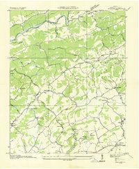
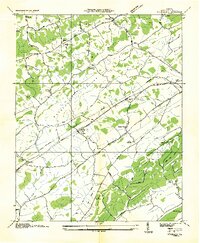
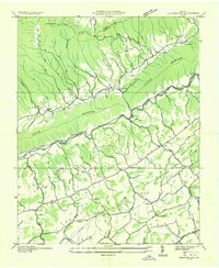
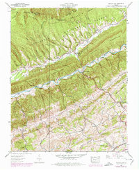
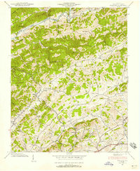
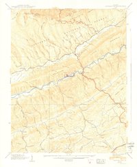
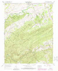
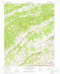
Editions of this 1959 Konnarock Map
6 editions found
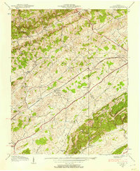
Historical Maps of Azen Through Time
14 maps found

1934 Brumley
Washington County, VA
1934 Wallace
Washington County, VA
1934 Wyndale
Washington County, VA
1935 Hayters Gap
Washington County, VA

1935 Konnarock
Washington County, VA
1938 Brumley
Washington County, VA
1938 Hayters Gap
Washington County, VA
1938 Wallace
Washington County, VA
1938 Wyndale
Washington County, VA
1939 Brumley
Washington County, VA
1939 Hayters Gap
Washington County, VA
1959 Konnarock
Washington County, VA
1960 Wallace
Washington County, VA
1960 Wyndale
Washington County, VA