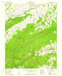
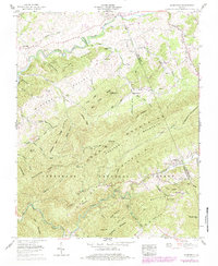
1959 Map of Konnarock
USGS Topo · Published 1960About this map
Konnarock and Loves Mill anchor this 1959 survey of the high country where Washington and Smyth counties meet. The landscape is dominated by the massive ridges of Grosses Mountain and Straight Mountain, with the South Fork Holston River winding through the northern valley. Industry and transit are etched into the terrain via the Norfolk and Western rail line and a strip mine near Wright Hollow.
Find a feature on this map
93 named features on this map. Tap any name to fly to it.
Don’t see what you’re looking for? This feature index may not catch every label — zoom into the map to look around manually.
Map Details
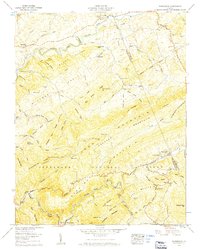
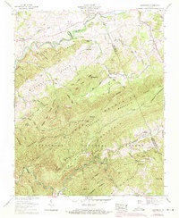
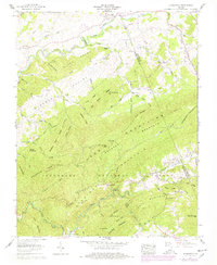
Editions of this 1959 Konnarock Map
6 editions found
Other maps of this area

1891 · Abingdon
USGS Topo · 1:125,000

1894 · Abingdon
USGS Topo · 1:125,000

1909 · Abingdon
USGS Topo · 1:96,000

1911 · Abingdon
USGS Topo · 1:125,000

1935 · Konnarock
USGS Topo · 1:24,000

1935 · Chilhowie
USGS Topo · 1:24,000

1935 · Grayson
USGS Topo · 1:24,000

1935 · Park
USGS Topo · 1:24,000

1935 · Mount Rogers
USGS Topo · 1:48,000
1935 · Laurel Bloomery
USGS Topo · 1:24,000