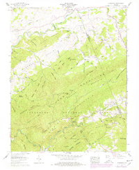
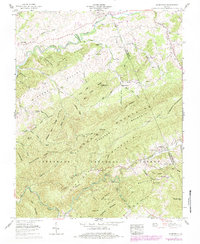
1959 Map of Konnarock
USGS Topo · Published 1978About this map
The South Fork Holston River winds through the northern reaches of this territory, where historic river-crossing settlements like Loves Mill and Friendship are established. To the south, the landscape is defined by the high elevations of the Jefferson National Forest, encompassing Iron Mountain and Straight Mountain. The mountain economy and social life are marked by isolated landmarks, including the Feathercamp Lookout Tower and a network of rural congregations such as Macedonia Ch and Little Rock Church.
Find a feature on this map
92 named features on this map. Tap any name to fly to it.
Don’t see what you’re looking for? This feature index may not catch every label — zoom into the map to look around manually.
Map Details
Editions of this 1959 Konnarock Map
6 editions found
Other maps of this area

1891 · Abingdon
USGS Topo · 1:125,000

1894 · Abingdon
USGS Topo · 1:125,000

1909 · Abingdon
USGS Topo · 1:96,000

1911 · Abingdon
USGS Topo · 1:125,000

1935 · Konnarock
USGS Topo · 1:24,000

1935 · Chilhowie
USGS Topo · 1:24,000

1935 · Grayson
USGS Topo · 1:24,000

1935 · Park
USGS Topo · 1:24,000

1935 · Mount Rogers
USGS Topo · 1:48,000
1935 · Laurel Bloomery
USGS Topo · 1:24,000