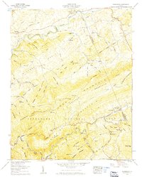
1959 Map of Konnarock
USGS Topo · Published 1960About this map
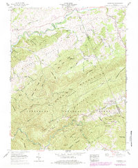
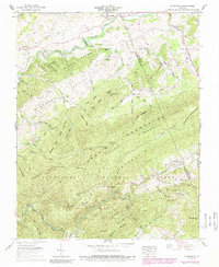
Iron Mountain and Straight Mountain dominate this corner of the Jefferson National Forest at the close of the 1950s. The settlement at Konnarock sits along the Whitetop Laurel Creek, while the Norfolk and Western railway snakes through the narrow valleys of Taylors Valley to the south. This era shows the landscape transitioning from industrial utility to recreational use, evidenced by the presence of a strip mine on the western slopes and the path of the Appalachian Trail crossing the ridges. The map is a vital resource for tracing mountain communities and religious centers, including Masada Church, Macedonia Ch, and the Azen Ch Cem. Along the north, the South Fork Holston River passes Loves Mill, an area defined by family-named landmarks like Byars Cem and Hawthorne Knob. High points like Feathercamp Ridge are marked by the Feathercamp Lookout Tower, a testament to the period's active forest management.
Find a feature on this map
85 named features on this map. Tap any name to fly to it.
Don’t see what you’re looking for? This feature index may not catch every label — zoom into the map to look around manually.
Map Details
Editions of this 1959 Konnarock Map
6 editions found
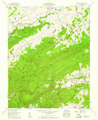
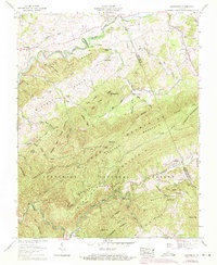
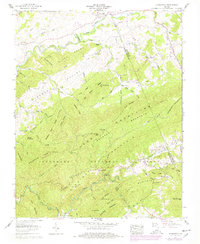
Other maps of this area

1891 · Abingdon
USGS Topo · 1:125,000

1894 · Abingdon
USGS Topo · 1:125,000

1909 · Abingdon
USGS Topo · 1:96,000

1911 · Abingdon
USGS Topo · 1:125,000

1935 · Konnarock
USGS Topo · 1:24,000

1935 · Chilhowie
USGS Topo · 1:24,000

1935 · Grayson
USGS Topo · 1:24,000

1935 · Park
USGS Topo · 1:24,000

1935 · Mount Rogers
USGS Topo · 1:48,000
1935 · Laurel Bloomery
USGS Topo · 1:24,000