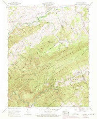
1959 Map of Konnarock
USGS Topo · Published 1971About this map
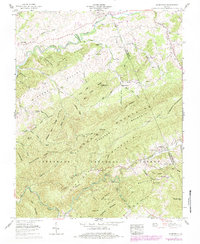
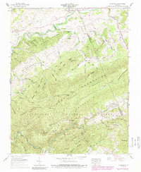
Loves Mill and the banks of the South Fork Holston River anchor the northern landscape of this region where Washington and Smyth counties meet. The settlement of Konnarock sits nestled in the mountain gaps to the east, while the Norfolk and Western railway follows the winding course of Whitetop Laurel Creek through the Jefferson National Forest. This network of rail and water supported small mountain communities like Taylors Valley and Creek Junction. Deeply informative for local historians, the map identifies numerous family burial grounds including Byars Cem and Bishop Cem, alongside rural landmarks like the Barrack Sch and Kelly Chapel. The terrain is dominated by the Iron Mountains and Straight Mountain, with the Appalachian Trail traversing the high ridges and gaps such as Shaw Gap and Bear Tree Gap.
Find a feature on this map
75 named features on this map. Tap any name to fly to it.
Don’t see what you’re looking for? This feature index may not catch every label — zoom into the map to look around manually.
Map Details
Editions of this 1959 Konnarock Map
6 editions found
Other maps of this area

1891 · Abingdon
USGS Topo · 1:125,000

1894 · Abingdon
USGS Topo · 1:125,000

1909 · Abingdon
USGS Topo · 1:96,000

1911 · Abingdon
USGS Topo · 1:125,000

1935 · Konnarock
USGS Topo · 1:24,000

1935 · Chilhowie
USGS Topo · 1:24,000

1935 · Grayson
USGS Topo · 1:24,000

1935 · Park
USGS Topo · 1:24,000

1935 · Mount Rogers
USGS Topo · 1:48,000
1935 · Laurel Bloomery
USGS Topo · 1:24,000