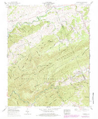
1959 Map of Konnarock
USGS Topo · Published 1983About this map
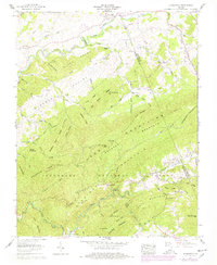
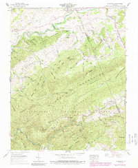
The South Fork Holston River winds through the northern portion of this landscape, anchoring a valley where the settlement of Loves Mill and the Batrack Sch once served a rural farming community. To the south, the terrain rises sharply into the high ridges of the Jefferson National Forest, where Iron Mountain and Straight Mountain dominate the geography. The map captures a transition in the local economy, showing the Norfolk and Western rail line following the tight contours of the Laurel Fork as it passes through Taylors Valley. Historical interest is high near the village of Konnarock, which sits at the foot of the mountains and includes the Konnarock Cem. Throughout the highlands, numerous family cemeteries like James Cem and Bishop Cem are tucked into the drainages of Mill Creek and Back Creek, marking the deep roots of the families that settled these hollows.
Find a feature on this map
101 named features on this map. Tap any name to fly to it.
Don’t see what you’re looking for? This feature index may not catch every label — zoom into the map to look around manually.
Map Details
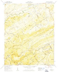
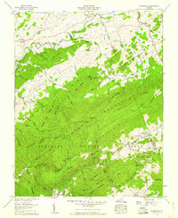
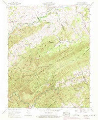
Editions of this 1959 Konnarock Map
6 editions found
Other maps of this area

1891 · Abingdon
USGS Topo · 1:125,000

1894 · Abingdon
USGS Topo · 1:125,000

1909 · Abingdon
USGS Topo · 1:96,000

1911 · Abingdon
USGS Topo · 1:125,000

1935 · Konnarock
USGS Topo · 1:24,000

1935 · Chilhowie
USGS Topo · 1:24,000

1935 · Grayson
USGS Topo · 1:24,000

1935 · Park
USGS Topo · 1:24,000

1935 · Mount Rogers
USGS Topo · 1:48,000
1935 · Laurel Bloomery
USGS Topo · 1:24,000