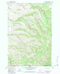
1966 Map of Kooskooskie
USGS Topo · Published 1983About this map
Kooskooskie and the northern reaches of the Umatilla National Forest anchor this survey of the rugged Washington-Oregon borderlands. The landscape is defined by the sharp vertical relief of Klicker Mountain and the prominent Biscuit Ridge, where numerous seasonal drainages like Nightingale Canyon and Laird Gulch carve through the high country. Evidence of the region’s hydrological and recreational management is visible at the Gaging Sta and Dam near Kiwanis Camp.
Find a feature on this map
34 named features on this map. Tap any name to fly to it.
Don’t see what you’re looking for? This feature index may not catch every label — zoom into the map to look around manually.
Map Details
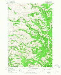
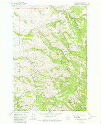
Editions of this 1966 Kooskooskie Map
Other maps of this area

1919 · Walla Walla
USGS Topo · 1:125,000

1921 · Walla Walla
USGS Topo · 1:125,000

1937 · Pomeroy
USGS Topo · 1:96,000

1942 · Pomeroy
USGS Topo · 1:125,000

1953 · Pendleton
USGS Topo · 1:250,000

1953 · Walla Walla
USGS Topo · 1:250,000

1955 · Pullman
USGS Topo · 1:250,000

1955 · Grangeville
USGS Topo · 1:250,000

1956 · Pendleton
USGS Topo · 1:250,000

1958 · Pullman
USGS Topo · 1:250,000