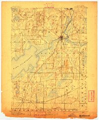
1891 Map of Koshkonong
USGS Topo · Published 1891About this map
Lake Koshkonong dominates the south-central landscape of this late nineteenth-century Jefferson County survey, serving as a focal point for the surrounding agricultural townships. The Rock River flows southward through the county seat at Jefferson and into Fort Atkinson, where it meets the Bark River. This river system was integral to early industry and settlement patterns, now reinforced by an expanding rail network.
Find a feature on this map
26 named features on this map. Tap any name to fly to it.
Don’t see what you’re looking for? This feature index may not catch every label — zoom into the map to look around manually.
Map Details
Editions of this 1891 Koshkonong Map
This is the sole edition of this map. No revisions or reprints were ever made.
Other maps of this area
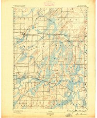
1890 · Sun Prairie
USGS Topo · 1:62,500
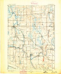
1890 · Stoughton
USGS Topo · 1:62,500
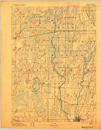
1891 · Waterloo
USGS Topo · 1:62,500
1891 · Janesville
USGS Topo · 1:62,500
1892 · Watertown
USGS Topo · 1:62,500
1892 · Whitewater
USGS Topo · 1:62,500
1893 · Delavan
USGS Topo · 1:62,500
1893 · Whitewater
USGS Topo · 1:62,500
1893 · Janesville
USGS Topo · 1:62,500
1893 · Shopiere
USGS Topo · 1:62,500