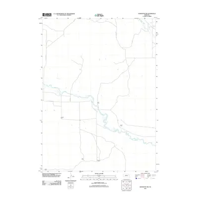
2011 Map of Koshopah SW
USGS Topo · Published 2011About this map
The North Loup River meanders across this rural Nebraska landscape, defining the character of the Sandhills region as it was documented in the early 21st century. This area is characterized by a sparse network of established ranching operations, including the White Ranch, OTeaford Ranch, and Mellott Ranch. These family holdings are connected by a minimal grid of section roads and tracks like Co Rd 20-24 and N Loup River Rd. In the northern reach of the map, Goose Creek flows toward its eventual confluence, illustrating the subtle hydrology of the Nebraska plains. The map highlights the continued importance of individual ranch sites, such as the Cook Ranch and Neubauer Ranch, which serve as the primary landmarks in this low-density agricultural corridor.
Find a feature on this map
10 named features on this map. Tap any name to fly to it.
Don’t see what you’re looking for? This feature index may not catch every label — zoom into the map to look around manually.
Map Details
Editions of this 2011 Koshopah SW Map
This is the sole edition of this map. No revisions or reprints were ever made.
Other maps of this area

1948 · Halsey
USGS Topo · 1:62,500

1949 · Purdum
USGS Topo · 1:62,500

1949 · Koshopah
USGS Topo · 1:62,500

1950 · Halsey
USGS Topo · 1:62,500

1951 · Dunning
USGS Topo · 1:62,500

1951 · Purdum
USGS Topo · 1:62,500

1951 · Koshopah
USGS Topo · 1:62,500

1954 · North Platte
USGS Topo · 1:250,000

1956 · North Platte
USGS Topo · 1:250,000

1957 · North Platte
USGS Topo · 1:250,000