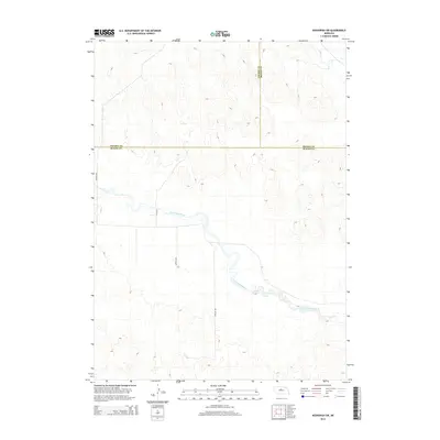
2014 Map of Koshopah SW
USGS Topo · Published 2014About this map
The North Loup River meanders across the center of this Nebraska landscape, tracing a path through the sand hills at the junction of several county lines. This 2014 survey captures a sparse ranching and agricultural region where the borders of Cherry, Blaine, and Brown counties meet. A network of rural roads, including Elsmere Ave and Poplar Ave, provides the primary access to the isolated terrain north and south of the river. To the northeast, the waters of Goose Cr flow through the corner of the map, while markers like Harvest Ave and Cr-20-24 delineate the few established transportation routes through the undulating hills.
Find a feature on this map
9 named features on this map. Tap any name to fly to it.
Don’t see what you’re looking for? This feature index may not catch every label — zoom into the map to look around manually.
Map Details
Editions of this 2014 Koshopah SW Map
This is the sole edition of this map. No revisions or reprints were ever made.
Other maps of this area

1948 · Halsey
USGS Topo · 1:62,500

1949 · Purdum
USGS Topo · 1:62,500

1949 · Koshopah
USGS Topo · 1:62,500

1950 · Halsey
USGS Topo · 1:62,500

1951 · Dunning
USGS Topo · 1:62,500

1951 · Purdum
USGS Topo · 1:62,500

1951 · Koshopah
USGS Topo · 1:62,500

1954 · North Platte
USGS Topo · 1:250,000

1956 · North Platte
USGS Topo · 1:250,000

1957 · North Platte
USGS Topo · 1:250,000