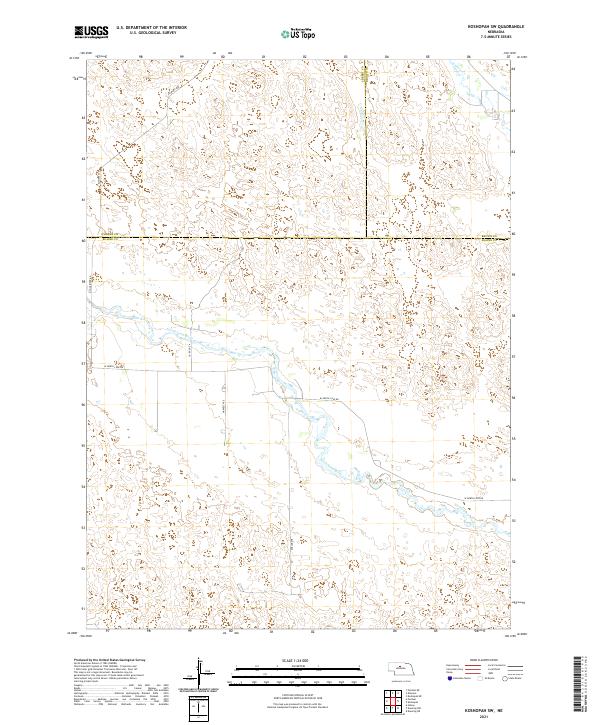
2021 Map of Koshopah SW
USGS Topo · Published 2021About this map
The North Loup River winds through this section of the Nebraska Sandhills, a landscape defined by its undulating terrain and Sparse water sources. This 2021 survey shows a rural environment where land is primarily divided by township and range lines, such as t24n r25w and t25n r24w. The river serves as a central geographical marker, accompanied by secondary drainages like Goose Cr in the northeast.
Find a feature on this map
15 named features on this map. Tap any name to fly to it.
Don’t see what you’re looking for? This feature index may not catch every label — zoom into the map to look around manually.
Map Details
Editions of this 2021 Koshopah SW Map
This is the sole edition of this map. No revisions or reprints were ever made.
Other maps of this area

1948 · Halsey
USGS Topo · 1:62,500

1949 · Purdum
USGS Topo · 1:62,500

1949 · Koshopah
USGS Topo · 1:62,500

1950 · Halsey
USGS Topo · 1:62,500

1951 · Dunning
USGS Topo · 1:62,500

1951 · Purdum
USGS Topo · 1:62,500

1951 · Koshopah
USGS Topo · 1:62,500

1954 · North Platte
USGS Topo · 1:250,000

1956 · North Platte
USGS Topo · 1:250,000

1957 · North Platte
USGS Topo · 1:250,000