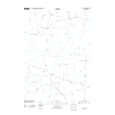
2013 Map of Kossuth
USGS Topo · Published 2013About this map
The unincorporated community of Kossuth serves as a central point in this northern Pennsylvania landscape, where rural roads connect scattered settlements and family-named corners. Local history is etched into the terrain at places like Fertigs, Nineveh, and Elmo, while traditional crossroads are preserved through labels such as Goodmans Corners and Altmans Corners. The presence of several distinct school-named roads, such as Carnes School Rd and Pinegrove School Rd, indicates the historical placement of rural education centers that once anchored these small farming and timber communities.
Find a feature on this map
113 named features on this map. Tap any name to fly to it.
Don’t see what you’re looking for? This feature index may not catch every label — zoom into the map to look around manually.
Map Details
Editions of this 2013 Kossuth Map
This is the sole edition of this map. No revisions or reprints were ever made.
Other maps of this area

1906 · Clarion
USGS Topo · 1:62,500

1907 · Clarion
USGS Topo · 1:62,500

1907 · Foxburg
USGS Topo · 1:62,500

1908 · Foxburg
USGS Topo · 1:62,500

1922 · Oil City
USGS Topo · 1:48,000

1922 · Tionesta
USGS Topo · 1:62,500

1924 · Oil City
USGS Topo · 1:62,500

1924 · Tionesta
USGS Topo · 1:62,500

1943 · Oil City
USGS Topo · 1:62,500

1946 · Tionesta
USGS Topo · 1:62,500