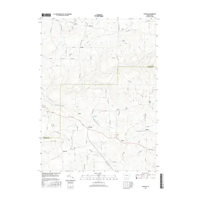
2016 Map of Kossuth
USGS Topo · Published 2016About this map
Kossuth and Nineveh anchor this survey of the undulating plateau where Venango and Clarion counties meet. The landscape is defined by the headwaters of numerous creeks, including East Sandy Creek and Canoe Creek, which carve deep valleys into the terrain between Cream Hill and Pine Hill. The settlement pattern is largely rural, with clusters of activity at small junctions like Fern and Elmo along the prominent corridor of Route 322. A notable modern feature is the path of the North Country National Scenic Trail, which winds through the central and eastern portions of the quadrangle.
Find a feature on this map
66 named features on this map. Tap any name to fly to it.
Don’t see what you’re looking for? This feature index may not catch every label — zoom into the map to look around manually.
Map Details
Editions of this 2016 Kossuth Map
This is the sole edition of this map. No revisions or reprints were ever made.
Other maps of this area

1906 · Clarion
USGS Topo · 1:62,500

1907 · Clarion
USGS Topo · 1:62,500

1907 · Foxburg
USGS Topo · 1:62,500

1908 · Foxburg
USGS Topo · 1:62,500

1922 · Oil City
USGS Topo · 1:48,000

1922 · Tionesta
USGS Topo · 1:62,500

1924 · Oil City
USGS Topo · 1:62,500

1924 · Tionesta
USGS Topo · 1:62,500

1943 · Oil City
USGS Topo · 1:62,500

1946 · Tionesta
USGS Topo · 1:62,500