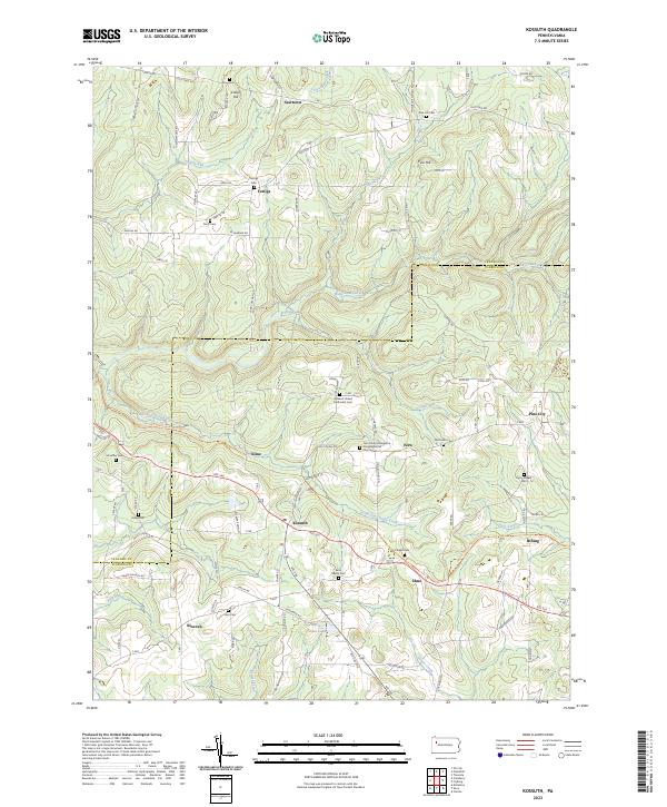
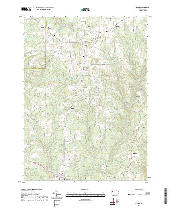
2023 Map of Kossuth
USGS Topo · Published 2023About this map
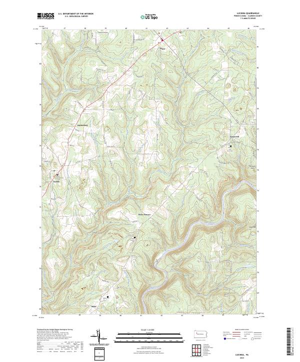
The Venango and Clarion county line bisects this landscape, marking a rural territory defined by the headwaters of East Sandy Creek and Little East Sandy Creek. Smaller settlements like Kossuth, Fern, and Elmo are threaded along Rte 322, while family-named cemeteries and churchyards serve as the primary landmarks for local genealogists. The map reveals a high concentration of burial grounds, including the Fern Trinity Evangelical Congregational Churchyard and Ashland United Methodist Cem, which anchor these small upland communities. The North Country National Scenic Trl winds through the southern terrain, crossing Cogley Run and passing near the Marie-Eileen Lake reservoir, indicating the transition from historical homesteads and agriculture to modern recreational use in the Pennsylvania highlands.
Find a feature on this map
67 named features on this map. Tap any name to fly to it.
Don’t see what you’re looking for? This feature index may not catch every label — zoom into the map to look around manually.
Map Details
Editions of this 2023 Kossuth Map
This is the sole edition of this map. No revisions or reprints were ever made.
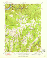
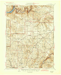
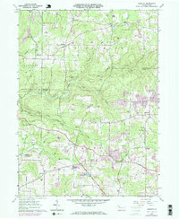
Historical Maps of Billing Through Time
9 maps found

Featured Locations
- Elk Township, PA
- Cranberry Township, PA
- Richland Township, PA
- Rockland Township, PA
- Pinegrove Township, PA