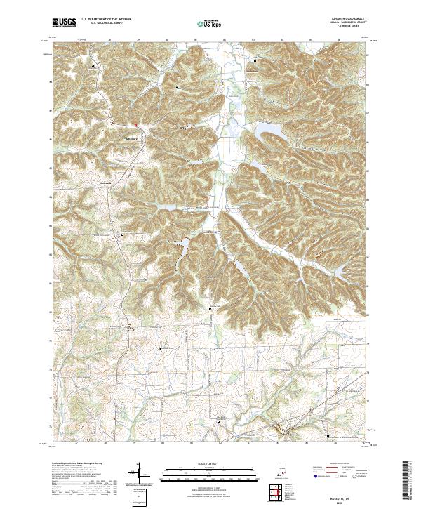
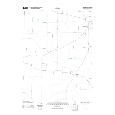
2022 Map of Kossuth
USGS Topo · Published 2022About this map
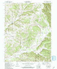
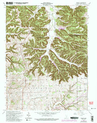
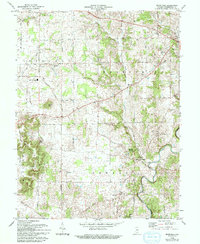
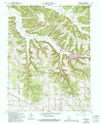
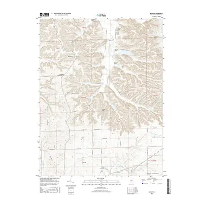
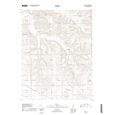
Kossuth and Plattsburg anchor this rural Indiana landscape, where the headwaters of the W Fork Blue River and Buffalo Cr carve through a terrain defined by deep hollows and prominent knobs. The settlement pattern is deeply tied to the ridges, with Walnut Ridge and numerous family-named landmarks like Johnson Knob and Potato Knob shaping the local geography. A high concentration of small burial grounds, including Blue River Friends Cem and the Nicholson Cem, offers significant evidence of early family farmsteads and Quaker heritage in Washington County.
Find a feature on this map
88 named features on this map. Tap any name to fly to it.
Don’t see what you’re looking for? This feature index may not catch every label — zoom into the map to look around manually.
Map Details
Editions of this 2022 Kossuth Map
This is the sole edition of this map. No revisions or reprints were ever made.
Historical Maps of Plattsburg Through Time
27 maps found
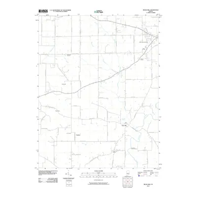
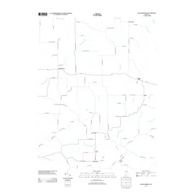
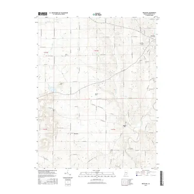
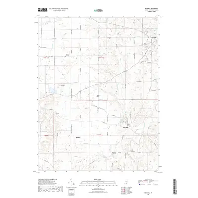
1950 Becks Mill
Washington County, IN
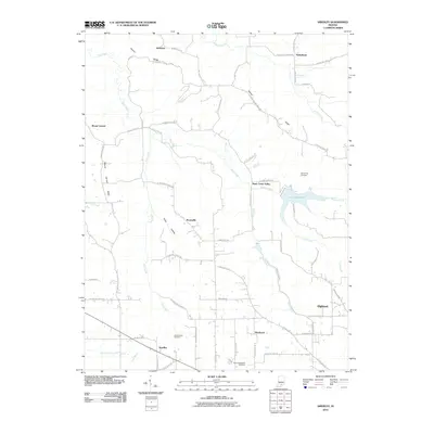
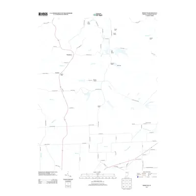
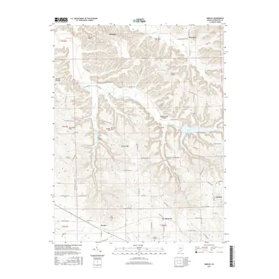
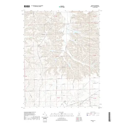
1951 Smedley
Washington County, IN
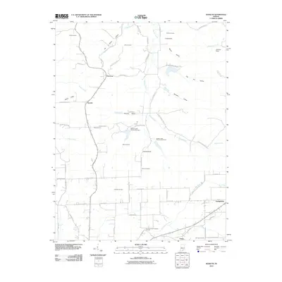
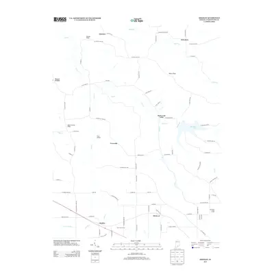
1953 Kossuth
Washington County, IN
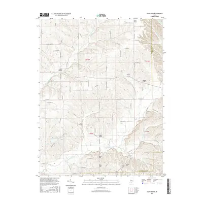
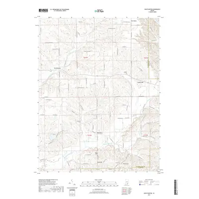
1955 South Boston
Washington County, IN
1963 Kossuth
Washington County, IN
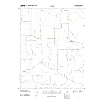
1966 Becks Mill
Washington County, IN
1966 Smedley
Washington County, IN
2010 Becks Mill
Washington County, IN
2010 Kossuth
Washington County, IN
2010 Smedley
Washington County, IN
2010 South Boston
Washington County, IN
2013 Becks Mill
Washington County, IN
2013 Kossuth
Washington County, IN
2013 Smedley
Washington County, IN
2013 South Boston
Washington County, IN
2016 Becks Mill
Washington County, IN
2016 Kossuth
Washington County, IN
2016 Smedley
Washington County, IN
2016 South Boston
Washington County, IN
2019 Becks Mill
Washington County, IN
2019 Kossuth
Washington County, IN
2019 Smedley
Washington County, IN
2019 South Boston
Washington County, IN
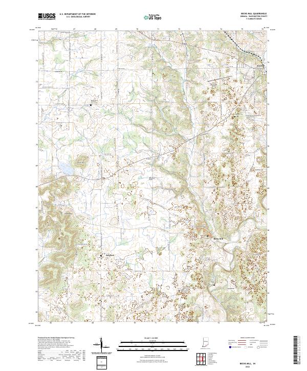
2022 Becks Mill
Washington County, IN
2022 Kossuth
Washington County, IN
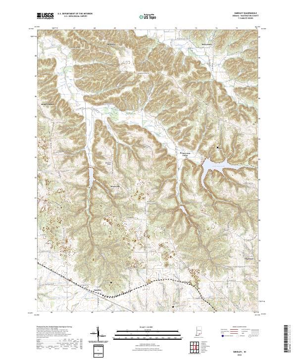
2022 Smedley
Washington County, IN
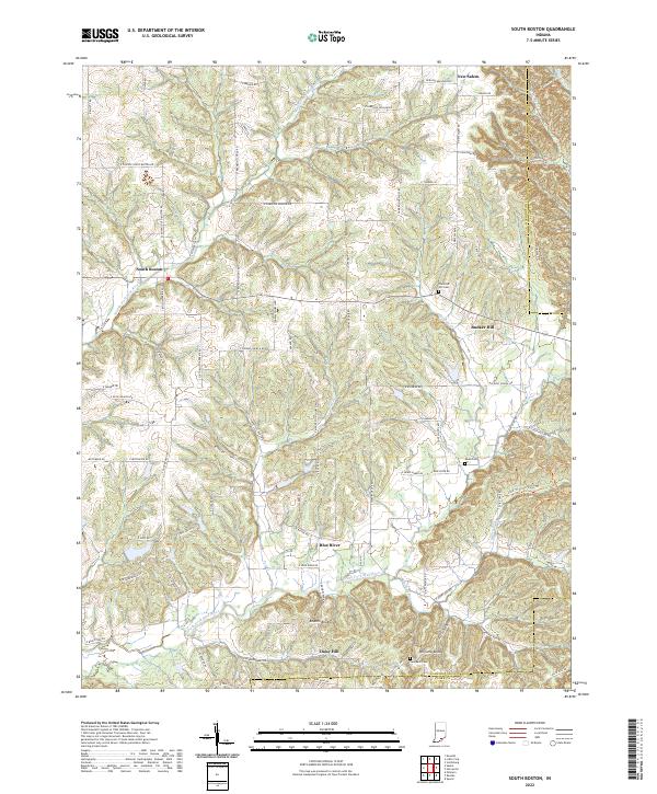
2022 South Boston
Washington County, IN