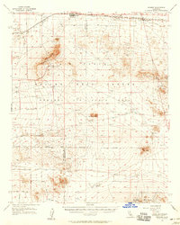
1956 Map of Kramer
USGS Topo · Published 1958About this map
Boron and the surrounding high desert terrain dominate this mid-century survey, illustrating a landscape defined by industrial extraction and military expansion. The Atchison Topeka and Santa Fe RR cuts across the northern edge of the sheet, serving the mineral interests at the Clay Plant and the nearby town of Kramer. The vast expanse of Edwards Air Force Base occupies the central portion of the map, marked by numerous observation towers, flight test ranges, and targets scattered across the arid flats. To the west, the former settlement of Rich (Site) sits near the county line, while the southern reaches descend into the Mirage Valley beneath the Shadow Mountains. Prominent volcanic and erosional features like Haystack Butte, Leuhman Ridge, and the Red Buttes provide vertical relief in an area otherwise characterized by extensive Dry Lakes and numerous mining prospects.
Find a feature on this map
28 named features on this map. Tap any name to fly to it.
Don’t see what you’re looking for? This feature index may not catch every label — zoom into the map to look around manually.
Map Details
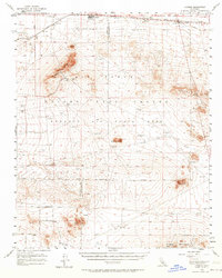
Editions of this 1956 Kramer Map
2 editions found
Other maps of this area

1915 · Searles Lake
USGS Topo · 1:250,000

1931 · Adobe
USGS Topo · 1:24,000

1931 · Hi Vista
USGS Topo · 1:24,000

1932 · Barstow
USGS Topo · 1:125,000

1934 · Barstow
USGS Topo · 1:125,000

1934 · Adobe
USGS Topo · 1:24,000

1935 · Hi Vista
USGS Topo · 1:24,000

1937 · Shadow Mountains
USGS Topo · 1:48,000

1937 · Kramer
USGS Topo · 1:48,000

1937 · Rogers Lake
USGS Topo · 1:48,000